White Mountain National Forest - Mt. Morrah - Member Hike
| Hike Name: | White Mountain National Forest - Mt. Morrah |
|---|---|
| Country: | United States |
| State: | New Hampshire |
| Nearby Town: | Gorham |
| Rating: |  |
| Directions: | From Gorham, NH: Follow US 2 Eastbound toward the Maine border. The Appalachian Trail and a small trailhead (with room for about 8-10 vehicles) are both located 3.6 miles from Gorham. The parking area is on your right. |
| Total Hike Distance: | 11.40 miles |
| Hike Difficulty: | Difficult |
| Permit Required: | No |
| Hike Type: | In & Out, Backtrack Hike |
| Hike Starts/Ends: | US 2 |
| Trails Used: | Appalachian Trail, Carter-Morrah Trail |
| Backcountry Campsites: | Yes |
| Backcountry Water Sources: | Streams, Rivers |
| Management: | U.S. Forest Service |
| Contact Information: | White Mountain National Forest 719 Main Street Laconia, NH 03246 Phone: (603) 528-8721 |
| Best Season: | Summer, Fall |
| Users: | Hikers, Dogs |
| Road Conditions: | Primary Paved Roads, Secondary Paved Roads |
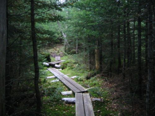
| Hike Summary: | This 5.7 mile hike follows the Appalachian Trail to the summit of Mt. Morrah and back from US 2 outside of Gorham, NH. The first 1.6 miles to the Rattle River Shelter are fairly easy as the trail climbs gradually along the banks of the stream that bears the same name. From this point on, however, the trail ascends steeply and the trail is rocky and challenging at times. Mt. Morrah is reached via the Carter-Morrah Trail just 0.1 miles off the Appalachian Trail. The views can be outstanding from here on a clear day. |


Recommended


Trip Reports
| Date | Rating | Duration | Hiker | |
|---|---|---|---|---|

|
September 23, 2005 | |
5 hours, 15 minutes | BirdShooter |
There are no comments yet.