Rocky Mountain National Park - Tonahutu Trailhead to Longs Peak Trailhead - Member Hike
| Hike Name: | Rocky Mountain National Park - Tonahutu Trailhead to Longs Peak Trailhead |
|---|---|
| Country: | United States |
| State: | Colorado |
| Nearby Town: | Estes Park and Grand Lake |
| Rating: |  |
| Directions: | Via US 34 or 36 from the east through Estes Park and via US 34 from the southwest through Grand Lake. |
| Total Hike Distance: | 35.50 miles |
| Hike Difficulty: | Very Difficult |
| Permit Required: | Yes |
| Hike Type: | One-Way, Shuttle Hike |
| Hike Starts: | Tonahutu Trailhead |
| Hike Ends: | Longs Peak Trailhead |
| Trails Used: | Tonahutu Creek, Continental Divide National Scenic, Flattop Mountain, Glacier Gorge, North Longs Peak, and East Longs Peak Trails |
| Backcountry Campsites: | Yes |
| Backcountry Water Sources: | Streams, Lakes, Snow |
| Management: | National Park Service |
| Contact Information: | Rocky Mountain National Park Park Headquarters / Beaver Meadows Visitor Center 1000 U.S. Highway 36 Estes Park, Colorado 80517 Phone: 970-586-1206 http://www.nps.gov/imr/romo/ |
| Best Season: | Summer |
| Users: | Hikers, Horses |
| Road Conditions: | Primary Paved Roads |
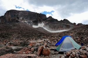
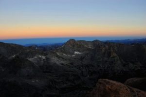
| Hike Summary: | This particular hike begins in the southwest quadrant of the park and traverses from west to east across the southern half. It includes summits of Flattop Mountain at elevation 12,324 feet and Longs Peak at elevation 14,255 feet. The terrain is arduous and the altitude is taxing, but the climbs are rewarding, and the views are spectacular. See the trip reports for more. |
Recommended
Trip Reports
| Date | Rating | Duration | Hiker | |
|---|---|---|---|---|
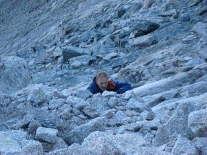
|
August 15, 2010 |  |
1 day | Moondoggy |

|
August 14, 2010 |  |
1 day | Moondoggy |
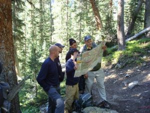
|
August 13, 2010 |  |
1 day | Moondoggy |
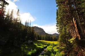
|
August 12, 2010 |  |
1 day | Moondoggy |

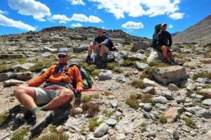



There are no comments yet.