Rocky Mountain National Park - Tonahutu Trailhead to Longs Peak Trailhead - August 15, 2010 - Member Trip Report
| Hike Name: | Rocky Mountain National Park - Tonahutu Trailhead to Longs Peak Trailhead |
|---|---|
| Country: | United States |
| State: | Colorado |
| Trip Rating: |  |
| Trip Date: | August 15, 2010 |
| Duration: | 1 day |
| Trail Conditions: | Fair |
| Trail Traffic: | Heavy |
| Trip Weather: | Partly Sunny |
| Trip Winds: | Moderate |
| Trip Precipitation: | None |
| Trip Temperature: | High: Below 0, Low: Below 0 degrees Fahrenheit |
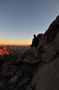
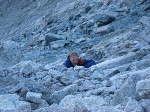
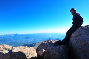
| Trip Report: | Day four begins pre-dawn with a pack-less westward scramble over the large boulder field leading up to the Keyhole. The Keyhole route is the only non-technical climb up Longs Peak. After passing through the Keyhole, and the associated wind tunnel effect, the route requires a southern traverse along a steep ledge system across the west face. At the end of the ledge system, the route ascends through the “Trough,” a large, steep talus field, and then traverses another precarious ledge system appropriately named the “Narrows.” The final scramble to the summit requires an army-man-like clamber up what is probably the steepest part of the climb. This section is known as the “Homestretch,” which appears to be an assemblage of parallel fractures in the rock face. This portion of the climb is actually easier than it looks. Just don’t look down. Once on the summit, enjoy the 360 degree views, sign the registry, and get your picture taken with the resident “ELEVATION 14,555 FEET” sign. The climb back down is much of the same, just in reverse, and without the jitters of the unfamiliar. The roundtrip summit from the Boulderfield campsite is only 3.0 miles, but plan on it taking two to three hours to reach the summit, and another couple to get back down. The trip down from the Boulderfield campsite to the Longs Peak Trailhead at elevation 9,404 feet is a long arduous 3,356-foot decent, but the smell of the pine trees through the Goblins Forest area is uplifting, and despite the fact they are hard as hell, the wooden park benches at the Longs Peak Ranger Station couldn’t be a more welcome sight. Fourth Day Starting Elevation = 12,760 feet Ending Elevation = 9,404 feet High Point Elevation = 14,255 feet (or 14,259 feet depending on your reference) Total Distance = 9.0 miles (including the 3.0-mile roundtrip summit of Longs Peak) |


There are no comments yet.