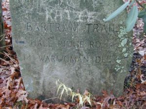
The Camel's Profile
| Name: | The Camel |
|---|---|
| Level / Points: |
 6,150 points |
| I am a: | Backpacker - I prefer backpacking over hiking |
| I go hiking: | Once per month |
| I usually go on hikes that are: | Moderate to Difficult |
| Gender: | Male |
| Birthplace: | Coventry, England |
| Country: | United States |
| State: | North Carolina |
| City: | Charlotte |
| Postal Code/ZIP: | 28203 |
| Biography: | I'm a Brit that came to the U.S. in the late 80's and never left. |
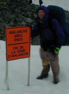
| My Best Hike: | Chilkoot Trail, Alaska/B.C./Yukon - July 2001 |
| Best Hike Description: | "Where else can you hike from one country to another and see the bare butt of an 80 year old senator from the Yukon." |
| My Worst Hike: | Uhwarrie National Forest, North Carolina - April 1995 |
| Worst Hike Description: | "It rained and we had to bail out and get a motel room." |
| A Memorable Trail Moment: | Denali National Park, Alaska - June 2000. "I fell in to the Class V/VI canyon rapids of the Teklanika River and thought it was all over." |
| Dumbest Trail Move: | "My first backpack that was given to me by an old roommate. It was three sizes too small and about chocked me to death." |
| Trails That I Want To Hike: | John Muir Trail |
The Camel's Hikes
| Name | Country | State/Province/Region | Difficulty | Distance | Rating | |
|---|---|---|---|---|---|---|
|
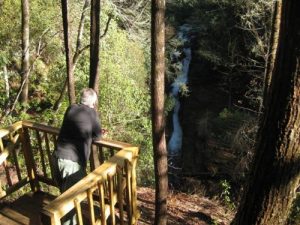
The Narrows | United States | South Carolina | Moderate to Difficult | 5.40 miles |  |

|
Eastatoe Creek | United States | South Carolina | Moderate to Difficult | 5.00 miles |  |
|
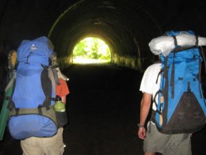
Campsite #74 | United States | North Carolina | Moderate | 6.60 miles |  |
|
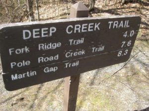
Great Smoky Mountain National Park - Deep Creek Trail | United States | North Carolina | Moderate | 14.30 miles |  |
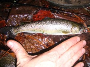
|
Thrift Lake Falls | United States | South Carolina | Moderate | 2.00 miles |  |
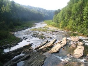
|
Lake Jocassee | United States | North Carolina | Difficult | 10.50 miles |  |

|
City of Charlotte - McMullen Creek Greenway | United States | North Carolina | Easy | 2.00 miles |  |
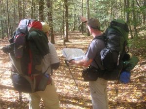
|
Pisgah National Forest - Wilson Creek Recreation Area - Harper's Creek | United States | North Carolina | Moderate | 4.00 miles |  |
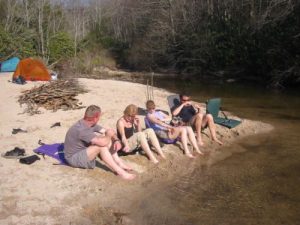
|
Panthertown Valley - Panthertown Creek (via Cold Mountain Gap) | United States | North Carolina | Easy to Moderate | 2.50 miles |  |
|
Panthertown Valley - Greenland Creek Falls | United States | North Carolina | Moderate | 3.00 miles |  |
