Colville National Forest - Salmo River - Member Hike
| Hike Name: | Colville National Forest - Salmo River |
|---|---|
| Country: | United States |
| State: | Washington |
| Nearby Town: | Tiger |
| Rating: |  |
| Directions: | From Spokane, take US2 northeast for 35 miles to WA 211 north to the town of Usk. At the junction of WA 211/WA 20 take WA 20 north for 30 miles to the town of Tiger. Take WA 31 out of Tiger and head north for two miles. Just before the town of Ione, turn east on Sullivan Lake Road which is known locally as County Road 9345. Go 12 miles to Sullivan Lake Ranger Station and drive Forest Road 22 which leads to the trailhead. |
| Total Hike Distance: | 8.00 miles |
| Hike Difficulty: | Moderate to Difficult |
| Permit Required: | No |
| Hike Type: | In & Out, Backtrack Hike |
| Hike Starts/Ends: | USFS 2220 |
| Trails Used: | Trail 506 |
| Backcountry Campsites: | No |
| Backcountry Water Sources: | Rivers |
| Management: | U.S. Forest Service |
| Contact Information: | Colville National Forest Sullivan Lake District 509-446-7500 |
| Best Season: | Summer |
| Users: | Hikers, Dogs |
| Road Conditions: | Primary Paved Roads, Secondary Paved Roads, Maintained Gravel or Dirt Roads |
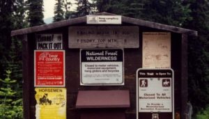
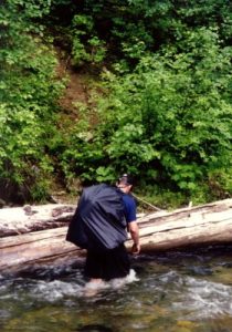
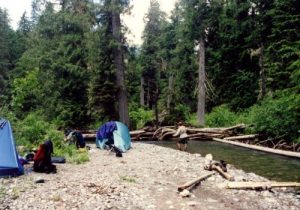
| Hike Summary: | The Salmo-Priest Wilderness is a place where hikers can see all kinds of wildlife and very few people. We hiked the Salmo Basin Trail and planned an 18 mile loop with the Salmo and Shedroof Divide Trails (which is called the Salmo Loop). The hike dips briefly into Idaho, and there is a fire tower at Little Snowy Top which makes a nice side hike. Unfortunately, the rains had their way with us, and we decided to cut the trip short. |


There are no comments yet.