South Cumberland Recreation Area - Savage Falls - Member Hike
| Hike Name: | South Cumberland Recreation Area - Savage Falls |
|---|---|
| Country: | United States |
| State: | Tennessee |
| Nearby Town: | Monteagle |
| Rating: |  |
| Directions: | To get to South Cumberland State Park, take exit 134 off I-24, take a right to Monteagle, turn left on Hwy. 41, drive three miles and the visitors center is located on the left. |
| Total Hike Distance: | 4.20 miles |
| Hike Difficulty: | Moderate |
| Permit Required: | Yes |
| Hike Type: | In & Out, Backtrack Hike |
| Hike Starts/Ends: | Savage Ranger Station |
| Trails Used: | Savage Day Loop, South Rim Trails |
| Backcountry Campsites: | Yes |
| Backcountry Water Sources: | Streams, Rivers |
| Management: | State Park Service |
| Contact Information: | South Cumberland State Park Route 1, Box 2196 Monteagle , TN 37356 931-924-2980 Stone Door: 931-692-3887 Savage Gulf: 931-779-3532 |
| Best Season: | Winter, Spring, Summer, Fall |
| Users: | Hikers, Dogs |
| Road Conditions: | Primary Paved Roads, Secondary Paved Roads |
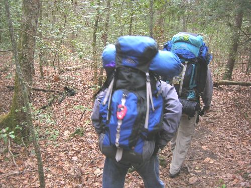
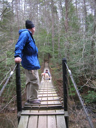
| Hike Summary: | South Cumberland is one of the newer Tennessee State Parks and almost all of it lies atop the Cumberland Plateau. The park is made up of ten different areas located in four different counties. The Visitor Center is located between Monteagle and Tracy City on Highway 41 where visitors can get information, directions, and trail maps for their hike. This overnight backpacking trip to Savage Falls starts at the Savage Ranger Station and follows a well marked trail across two suspension bridges to the Savage Falls Campsite. From here, it is a short walk to the falls where the stream is also the water source for the campsite. We did a side hike to Rattlesnake Point to view the eastern arm of Savage Gulf which which made this a 4+ mile backtrack hike. |


There are no comments yet.