Fort Barton Nature Trail - Member Hike
| Hike Name: | Fort Barton Nature Trail |
|---|---|
| Country: | United States |
| State: | Rhode Island |
| Nearby Town: | Tiverton |
| Rating: |  |
| Directions: | Set your GPS for ... Tiverton Town Hall 343 Highland Rd Tiverton, RI 02878 ....and park there. |
| Total Hike Distance: | 2.75 miles |
| Hike Difficulty: | Easy to Moderate |
| Permit Required: | No |
| Hike Type: | Roundtrip, Loop Hike |
| Hike Starts/Ends: | Tiverton Town Hall |
| Trails Used: | Fort Barton Nature Trail |
| Backcountry Campsites: | No |
| Backcountry Water Sources: | Streams |
| Management: | City Park Service |
| Contact Information: | Tiverton Town Hall 343 Highland Rd Tiverton, RI 02878 401-625-6710 |
| Best Season: | Winter, Spring, Summer, Fall |
| Users: | Hikers, Dogs |
| Road Conditions: | Primary Paved Roads, Secondary Paved Roads |
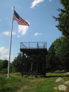
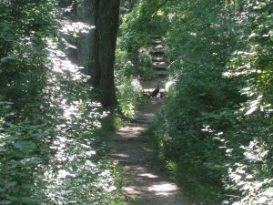
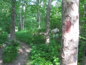
| Hike Summary: | Fort Barton is a historic American Revolution fort in Tiverton, Rhode Island that was used as a launching position for American forces during the Battle of Rhode Island. The site was named after Lt. Col. William Barton who successfully captured the British General Prescott during a midnight raid on the British headquarters at Prescott Farm on Rhode Island (Aquidneck Island). This hike starts at the Tiverton town hall where you can park then cross the street and walk uphill to the tower. From there there is a 1.75 mile loop that heads East through a forested area, passes near a shooting range (which you may hear in the distance), then follows the loop West again to the trailhead. There are actually blazes for both a the red trail (which is the 1.75 mile loop) and some blue trails which allow you to hike a shorter route. The are also a series of small bridges on the route, but it can get muddy in this area. So prepare accordingly. The views from the tower to the Sakonnet River (and bridge) are outstanding. |


There are no comments yet.