Wilson Creek Area: Lost Cove Trail - Member Hike
| Hike Name: | Wilson Creek Area: Lost Cove Trail |
|---|---|
| Country: | United States |
| State: | North Carolina |
| Nearby Town: | Edgemont, NC |
| Rating: |  |
| Directions: | Take US-421 N Take exit 286A for N Carolina 16 S/?N Carolina 18 toward Wilkesboro/?Taylorsville/?Lenoir Turn right onto N Carolina 16 S/?N Carolina 18 S/?S Cherry St Continue to follow N Carolina 16 S/?N Carolina 18 S Turn right onto Blowing Rock Blvd Turn left onto Main St NW Take the 1st right onto Valway Rd NW Turn left onto N Carolina 90 W/?Collettsville Rd Turn left onto Adako Rd Turn right onto Brown Mountain Beach Rd Turn left onto N Carolina 90 W/?Edgemont Rd Turn left onto National Forest Rd 981 |
| Total Hike Distance: | 7.50 miles |
| Hike Difficulty: | Very Difficult |
| Permit Required: | No |
| Hike Type: | Roundtrip, Loop Hike |
| Hike Starts/Ends: | Forest Road 981 |
| Trails Used: | Lost Cove Trail |
| Backcountry Campsites: | Yes |
| Backcountry Water Sources: | Streams, Springs |
| Management: | National Park Service |
| Contact Information: | Grandfather Ranger District District Ranger, John Crockett 109 Lawing Drive Nebo, NC 28761 (828) 652-2144 http://www.fs.usda.gov |
| Best Season: | Winter, Summer |
| Users: | Hikers, Dogs |
| Road Conditions: | Maintained Gravel or Dirt Roads |
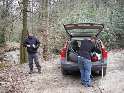
| Hike Summary: | *First off, this was one of the hardest hikes I have done! It was not a long hike: only 7.5 miles over two days, but it was challenging both physically and mentally. First off, we had trouble finding Forest Road 981. After a 45 minute direction malfunction, we were at the trailhead and excited for the trip ahead. 30 minutes later we actually found the beginning of the trail and were pretty sure that we were on our way. After referring to the map multiple times, we determined that we were, in fact, on the right trail and decided that yellow was the blaze color to follow. The trail is level for a few hundred feet and then it starts a long, steep journey up to the Timber Ridge. At just over a mile, you reach the top of the climb and the Timber Ridge Trail shoots off to the left. Go right and walk along the spine of the ridge. This is where the yellow blaze stops and the trail is blazeless for the next 3/4 of a mile. Start descending steeply down the mountain and notice the view of Grandfather Mountain straight ahead, through the foliage. The trail then turns to the left and you get some more views of the surrounding mountains. The blazeless trail then turns to pink blazes (I'm really not sure why they changed so much, since it is just one trail). Be careful around this area. We ended up following a side trail that led to a campsight and had difficulty finding the trail again. We then crossed over a creek and turned to the left. If you continue straight ahead, there is a trail that goes to another parking area. Following the creek to the left and you pass campsites all along the river. We spent the night along here at a great campsite. The trail gets tricky once again. There was a trail that veers off to the left that stops at the river, but it looks like a fishing spot. There is also what looks like a trail that goes straight and ends at the river. There were some blazes that also confirm this used to be the trail, but it is, apparently, no longer in use. Either way, cross the river and pick the trail back up (with some bushwhacking if you continued straight). Cross the creek a few more times and expect to get wet. After one of the creek crossings, at about 4.5 miles from the trailhead, the Hunt Fish Falls Trail comes in from straight ahead. Go to the left and you will now follow white trail blazes for the rest of the trip. About .5 mile after the trails connect, there is a beautiful view of the Hunt Fish Falls. Continue following the white blazed trail along the creek. This area is tricky because it is constantly up and down and very rocky. The trail is washed out in some areas, leaving a ditch going down to the creek. At about six miles from the trailhead, you come to the big payoff: Cragg Prong waterfall. This was a nice place to rest for awhile and explore around. The rest of the trip (about 1.5 miles) is the same as the rest of the trip. Some more water crossings and lots of trees. By this point, we were tired and ready to be back to the car. BE SURE YOU HAVE SOME MAP AND COMPASS SKILLS BEFORE ATTEMPTING THIS TRIP. YOU WILL NEED IT!!!! |


Recommended

 Trail Map For This Area
Trip Reports
There are no Trip Reports yet.
There are no comments yet.