Pilot Mt. - Pisgah National Forest - Member Hike
| Hike Name: | Pilot Mt. - Pisgah National Forest |
|---|---|
| Country: | United States |
| State: | North Carolina |
| Nearby Town: | Brevard |
| Rating: |  |
| Directions: | From Brevard go west (actually going North out of Brevard) on 276. Follow 276 into Pisgah NF then watch for FS road 475 on left to Fish Hatchery. Go passed Fish Hatchery, pavement ends. Continue on dirt road for about 4.5 miles to Gloucester Gap, where there is an intersection with FS rd 229 to the right and FS rd 471 to the left. Park here. Note - limited parking here - more parking just before you get to the gap. |
| Total Hike Distance: | 4.20 miles |
| Hike Difficulty: | Very Difficult |
| Permit Required: | No |
| Hike Type: | In & Out, Backtrack Hike |
| Hike Starts/Ends: | Gloucester Gap |
| Trails Used: | Art Loeb |
| Backcountry Campsites: | No |
| Backcountry Water Sources: | Streams |
| Management: | U.S. Forest Service |
| Contact Information: | Pisgah Ranger District 1001 Pisgah Highway Pisgah Forest, NC 28768 (828) 877-3265 |
| Best Season: | Winter, Spring, Fall |
| Users: | Hikers |
| Road Conditions: | Primary Paved Roads, Secondary Paved Roads, Maintained Gravel or Dirt Roads |
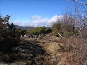
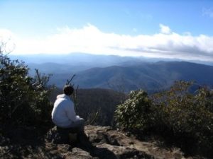
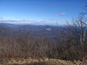
| Hike Summary: | Take trail head to right of the intersection (same side of the road as FS 229, Pilot Mt Road) - signed as Art Loeb Trail. Trail is blazed with both blue dots and white verticle rectangle. Climb along moderate grade. Cross FS 229 twice and continue climbing. The trail is easy to follow and well marked but extremely steep in places. Shortly after crossing FS229 the second time you will begin climbing in earnest. About .7 miles into the hike you will get a short respite before again climbing steeply up and over a little hump at about 1.4 mile into the hike, then descend a short distance to a small gap with an intersection with a cross trail that is not on the map. Continue straight on Art Loeb and climb very steeply along most of the next 6 or 7 tenths of a mile to the summit. Awsome 360 degree views from the narrow summit. Not a lot of room at the top, but trail was not crowded on this Sunday. Only saw one other group, on the way down. Return via the same trail. Except for the short length, I would have rated this one Extremly Difficult due to the very steep climb in places. You will gain approximately 2,000 feet in the just over 2 miles to the top, from about 3180 ft. up to just over 5,100 ft. |
Recommended
Trip Reports
There are no Trip Reports yet.


 Trail Map For This Area
There are no comments yet.