Shepard State Park - Palmetto Nature Trail - Member Hike
| Hike Name: | Shepard State Park - Palmetto Nature Trail |
|---|---|
| Country: | United States |
| State: | Mississippi |
| Nearby Town: | Gautier |
| Rating: |  |
| Directions: | 1. From I-10, take the MS-57 exit- EXIT 57- toward VANCLEAVE / FONTAINEBLEAU. 0.2 miles 2. Merge onto MS-57 S toward FONTAINBLEAU. 2.6 miles Map 3. Turn LEFT onto US-90 E. 6.5 miles Map 4. Turn RIGHT onto OAK ST. 0.1 miles Map 5. Turn LEFT onto DE LA POINTE DR. <0.1 miles Map 6. Turn RIGHT onto GRAVELINE RD. 0.2 miles Map 7. Turn LEFT to stay on GRAVELINE RD. 0.9 miles Map 8. Arrive at 1034 Graveline Rd Gautier, MS 39553-7727, US |
| Total Hike Distance: | 3.00 miles |
| Hike Difficulty: | Easy to Moderate |
| Permit Required: | No |
| Hike Type: | Roundtrip, Loop Hike |
| Hike Starts/Ends: | Shepard State Park Ball Fields |
| Trails Used: | Palmetto Nature Trail |
| Backcountry Campsites: | No |
| Backcountry Water Sources: | None |
| Management: | State Park Service |
| Contact Information: | Shepard State Park 1034 Graveline Road Gautier, MS 39553 Phone 228.497.2244 http://www.visitmississippi.org |
| Best Season: | Winter |
| Users: | Hikers |
| Road Conditions: | Primary Paved Roads, Secondary Paved Roads |
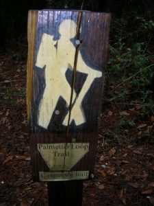
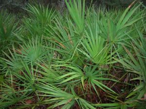
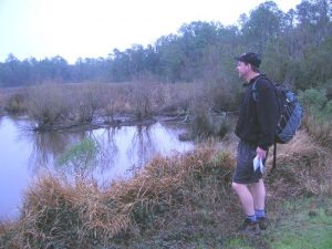
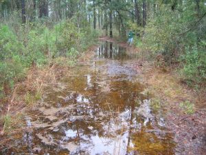
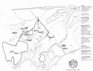
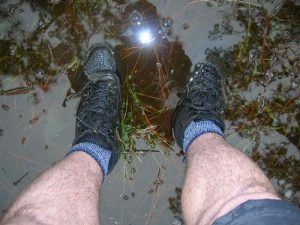
| Hike Summary: | This hike at Shepard State Park starts near the ball fields (which look more like abandon soccer fields than anything). We followed the gravel road down and to the left until we found signs for the Palmetto Trail which traverses a series of small wood footbridges over a bayou then enters a coastal forest. The trail loops through this wilderness then turns back to the starting point after a few miles. Visible on the trail are some tidal creeks, open marshland, and numerous items that were washed in the forest during Hurricane Katrina. We found everything from photo albums, tackle boxes, to a large dog house. Check with the ranger station before you head out, as the trail was extremely swampy (up to shin deep in some areas) during our hike. |


There are no comments yet.