Long Falls Dam Road to Kennebec River - Member Hike
| Hike Name: | Long Falls Dam Road to Kennebec River |
|---|---|
| Country: | United States |
| State: | Maine |
| Nearby Town: | Caratunk |
| Rating: |  |
| Directions: | Kennebec River Parking: Follow US 201 north from Bingham for 16 miles. Hiker parking is located up a steep incline on the right side (eastside) of the road, just north of the junction of US Route 201 & old 201 at the north end of the village of Caratunk. Cross US 201 and go in on the left .3 mile to the Kennebec River and the official start of section #5. Long Falls Dam Road Parking: Go north on Long Falls Dam Road (all paved) 19.8 miles from North New Portland. There really isn't parking here. You'll have to pull off the road the best you can. |
| Total Hike Distance: | 17.20 miles |
| Hike Difficulty: | Moderate to Difficult |
| Permit Required: | No |
| Hike Type: | One-Way, Shuttle Hike |
| Hike Starts: | Long Falls Dam Road |
| Hike Ends: | Kennebec River (Caratunk ME) |
| Trails Used: | Appalachian Trail |
| Backcountry Campsites: | No |
| Backcountry Water Sources: | Streams, Lakes, Springs |
| Management: | U.S. Forest Service |
| Contact Information: | Appalachian Trail Conservancy 799 West Washington Street Harpers Ferry, WV 25425 (304) 535-6331 |
| Best Season: | Spring, Summer, Fall |
| Users: | Hikers, Dogs |
| Road Conditions: | Primary Paved Roads, Secondary Paved Roads, Maintained Gravel or Dirt Roads |
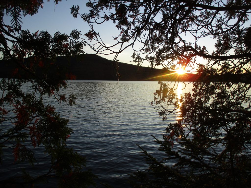
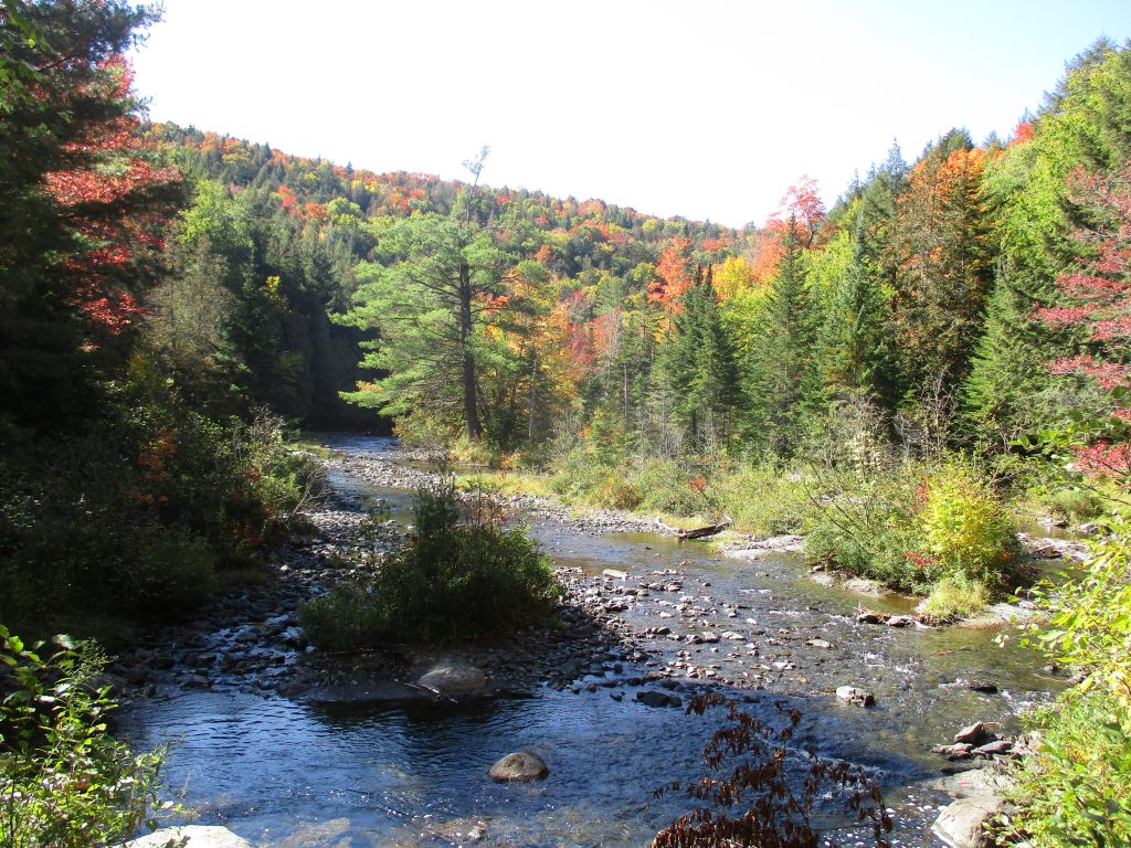
| Hike Summary: | This is one of the easier sections of the Appalachian Trail in Maine and it is a very scenic section of trail. The route starts at Long Falls Dam Road where we had a shuttle driver drop us off due to very limited parking. From the gravel road the A.T. climbs immediately then gradually drops down to West Carry Pond and a lean-to bearing the same name after 3.5 miles. A short distance northbound on the A.T. is Arnold's Point - named for Colonel Benedict Arnold who led a force of 1,100 Continental Army troops on an expedition from Cambridge in the Province of Massachusetts Bay to the gates of Quebec City. The expedition was part of a two-pronged invasion of the British Province of Quebec, and passed through the wilderness of what is now Maine - crossing the pond at this location. The Appalachian Trail leaves West Carry Pond after Arnold's Point and continues on to East Carry Pond where there is a nice beach right on the trail that is perfect for a lunch break. Then 13.5 miles from Long Falls Dam Road the A.T. reached the scenic Pierce Pond and lean-to. Harrison's Pierce Pond Camps are 0.3 miles away and rent cabins but a reservation is required. The final section of the trail follows the Pierce Pond Stream as it cascades down the mountain to the Kennebec River. The Appalachian Trail Conservancy provides a canoe ferry at the river but has seasonal hours and you should check with their website before you hike this section. Do not ford this river. Hikers have died trying in the past. The parking area to end this section is across the river and across the highway near the town of Caratunk. |


There are no comments yet.