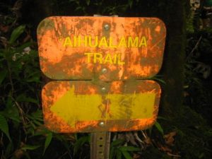
Honolulu Watershed Forest Reserve - Aihualama Trail - Member Hike
| Hike Name: | Honolulu Watershed Forest Reserve - Aihualama Trail |
|---|---|
| Country: | United States |
| State: | Hawaii |
| Nearby Town: | Honolulu |
| Rating: |  |
| Directions: | From Waikiki Beach take McCully Street toward the mountains then turn right onto Kapiolani Blvd. Follow Kapiolani Blvd then turn left onto University and drive through the University of Hawaii campus. After the campus, turn right onto Manoa Road and follow it until it dead ends at the trailhead. |
| Total Hike Distance: | 2.60 miles |
| Hike Difficulty: | Moderate to Difficult |
| Permit Required: | No |
| Hike Type: | In & Out, Backtrack Hike |
| Hike Starts/Ends: | Manoa Falls |
| Trails Used: | Aihualama Trail |
| Backcountry Campsites: | No |
| Backcountry Water Sources: | Streams |
| Management: | State Park Service |
| Contact Information: | Division of Forestry and Wildlife Kalanimoku Building 1151 Punchbowl St. Honolulu, HI 96813 (808)587-0166 |
| Best Season: | Winter, Spring, Summer, Fall |
| Users: | Hikers |
| Road Conditions: | Primary Paved Roads, Secondary Paved Roads |
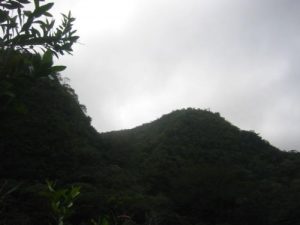
| Hike Summary: | The Aihualama Trail starts at the base of Manoa Falls and climbs a ridge for excellent views of the Upper Manoa Valley. The trail winds through a bamboo forest and gradually gains elevation until it reaches a ridge. The route can be muddy at times, particularly after heavy rains. |


There are no comments yet.