Mistletoe State Park - Member Hike
| Hike Name: | Mistletoe State Park |
|---|---|
| Country: | United States |
| State: | Georgia |
| Nearby Town: | Appling |
| Rating: |  |
| Directions: | 3 miles off Ga. Hwy. 150, 8 miles north of I-20 exit #175. |
| Total Hike Distance: | 6.00 miles |
| Hike Difficulty: | Easy to Moderate |
| Permit Required: | Yes |
| Hike Type: | Roundtrip, Loop Hike |
| Hike Starts/Ends: | Mistletoe State Park |
| Trails Used: | Cliat Creek, Rock Dam |
| Backcountry Campsites: | Yes |
| Backcountry Water Sources: | Streams, Lakes |
| Management: | State Park Service |
| Contact Information: | (706) 541-0321 Mistletoe State Park 3725 Mistletoe Road Appling , GA 30802 |
| Best Season: | Spring, Summer, Fall |
| Users: | Hikers, Bikers |
| Road Conditions: | Primary Paved Roads |
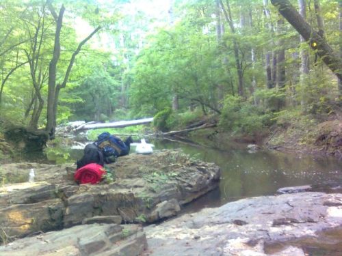
| Hike Summary: | Great Hike and really nice backcountry campsites. Its about 3 miles to the camp site and about 3 miles out the next day. There are three different back country sites. Two of them are on a nice little stream/creek. While the third one is located on the lake. I went during the summer and the third campsite's lake view was over grown and not near as nice as the first campsite. Overall, a great hike and camping experience. |



There are no comments yet.