Laurel Ridge - Member Hike
| Hike Name: | Laurel Ridge |
|---|---|
| Country: | United States |
| State: | Georgia |
| Nearby Town: | Mountain City |
| Rating: |  |
| Directions: | From Clayton, GA: Turn left onto US-23 N/US-441 N for 2.9 mi Then turn left onto Black Rock Mountain Pkwy for 0.4 mi Continue onto Black Rock Mountian Rd 0.6 mi Then take a slight right onto Black Rock Mountain Pkwy to the visitor's center |
| Total Hike Distance: | 3.20 miles |
| Hike Difficulty: | Moderate to Difficult |
| Permit Required: | Yes |
| Hike Type: | In & Out, Backtrack Hike |
| Hike Starts/Ends: | Black Rock Lake Parking Area |
| Trails Used: | Edmonds Trail/Edmonds Trail West Fork |
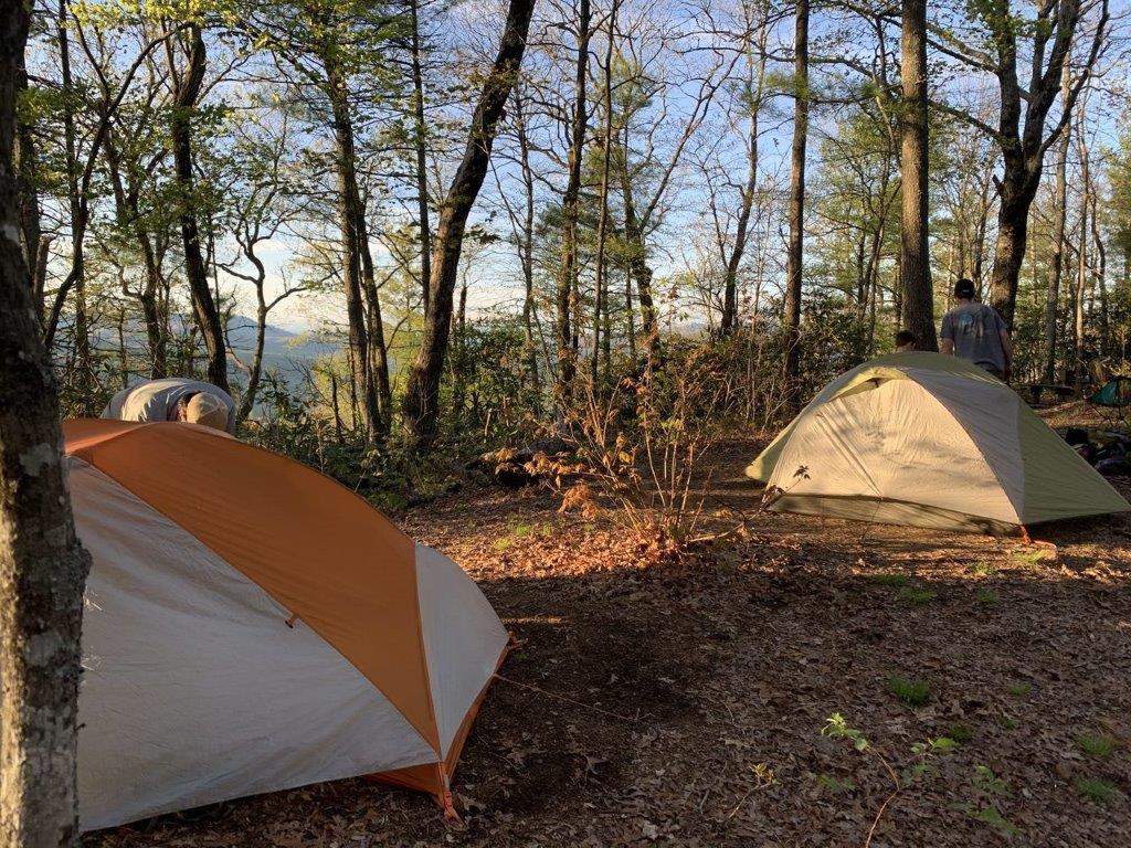
| Backcountry Campsites: | Yes |
| Backcountry Water Sources: | None |
| Management: | State Park Service |
| Contact Information: | Black Rock Mountain State Park 3085 Black Rock Mountain Parkway Mountain City, GA 30562 Rabun County |
| Best Season: | Winter, Spring, Summer, Fall |
| Users: | Hikers, Dogs |
| Road Conditions: | Primary Paved Roads, Secondary Paved Roads, Maintained Gravel or Dirt Roads |
| Hike Summary: | Georgia's highest state park encompasses some of the most outstanding scenery in Georgia’s Blue Ridge Mountains. Roadside overlooks provide spectacular 80-mile vistas, and four hiking trails lead visitors past wildflowers, streams, small waterfalls and lush forests. Visitors enjoy the summit visitor center for its views, gift shop and picnic tables. This hike to the backcountry campsite at Laurel Ridge starts with a 1.6 mile climb from Black Rock Lake and ascends for ~1000 feet to the summit of Lookout Mountain (3162'). It ends with outstanding views to the west. There is water along the West Fork of the Edmonds Trail for about half of the route but the summit area is dry. So plan accordingly. The Laurel Ridge campsite (like all backcountry campsites in the park) requires a reservation, but it is a short distance from the overlook. |


Recommended


Trip Reports
There are no Trip Reports yet.
There are no comments yet.