Currahee Mountain - Member Hike
| Hike Name: | Currahee Mountain |
|---|---|
| Country: | United States |
| State: | Georgia |
| Nearby Town: | Toccoa |
| Rating: |  |
| Directions: | From US-123N/SR-17S/SR-265N in Toccoa - Turn right on to Tommy Irvin Road 0.3 miles after the split. Then go 1.1 miles and turn left on to Dicks Hill Parkway. The trailhead is 3.0 miles ahead on the right at the junction on Currahee Mountain Rd in Stephens County. |
| Total Hike Distance: | 5.60 miles |
| Hike Difficulty: | Moderate to Difficult |
| Permit Required: | No |
| Hike Type: | In & Out, Backtrack Hike |
| Hike Starts/Ends: | Currahee Mountain Road |
| Trails Used: | Currahee Mountain Road |
| Backcountry Campsites: | No |
| Backcountry Water Sources: | None |
| Management: | U.S. Forest Service |
| Contact Information: | Chattahoochee National Forest 508 Oak Street NW Gainesville, GA 30501 (404) 536-0541 |
| Best Season: | Winter, Spring, Fall |
| Users: | Hikers, Bikers, Dogs, ATVs |
| Road Conditions: | Primary Paved Roads, Secondary Paved Roads, Maintained Gravel or Dirt Roads |
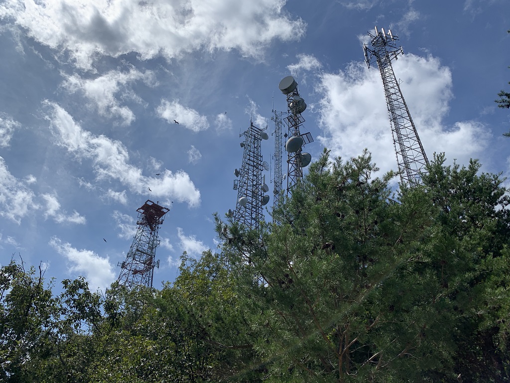
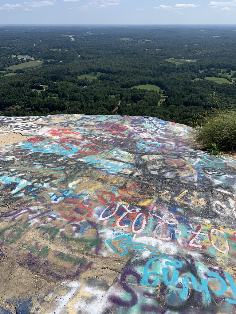
| Hike Summary: | This approach to Currahee Mountain follows a gravel 4x4 road for ~2.8 miles to the summit which has multiple cell phone towers but outstanding views from the top. The road was used by WWII paratrooper training during the 1940's before some of them were shipped off to Europe to participate in the D-Day landing. There is a trailhead and parking for 5-7 vehicles at the start of the 4x4 road and a gate just after it. The gate is typically open - so don't be surprised to see people driving to the summit, but because of the history of the paratroopers you will often find hikers and occasionally military personnel training on the road. There is also a museum open to the general public at the base of the mountain that tells the story of the WWII paratrooper training in the area. |


Recommended


Trip Reports
There are no Trip Reports yet.
There are no comments yet.