Cohutta Wilderness - Member Hike
| Hike Name: | Cohutta Wilderness |
|---|---|
| Country: | United States |
| State: | Georgia |
| Nearby Town: | Chatsworth |
| Rating: |  |
| Directions: | From GA 411 North, pass the 52/411 intersection in Chatsworth and continue to travel about 7.3 miles north, then turn right onto grassy street, turn right after the railroad tracks, turn right on FSR 630, Continue straight (for a while) until you reach the trailhead. |
| Total Hike Distance: | 19.00 miles |
| Hike Difficulty: | Moderate |
| Permit Required: | No |
| Hike Type: | Roundtrip, Loop Hike |
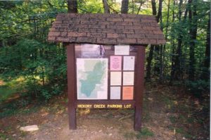
| Hike Starts/Ends: | Hickory Creek Trailhead |
| Trails Used: | Hickory Creek, Panther Creek, East Cowpens, Rough Ridge, Hickory Ridge |
| Backcountry Campsites: | Yes |
| Backcountry Water Sources: | Streams |
| Management: | U.S. Forest Service |
| Contact Information: | See: http://www.sherpaguides.com/georgia/mountains/blue_ridge/western/cohutta_wilderness.html |
| Best Season: | Summer |
| Users: | Hikers |
| Road Conditions: | Secondary Paved Roads, Unmaintained Gravel or Dirt Roads, High Clearance Vehicle Recommended |
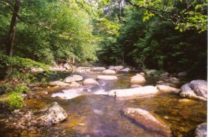
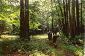
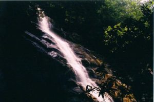
| Hike Summary: | A nice Summer Hike, through the cohhuta wilderness, beautiful streams, panther Creek Falls, Numerous swimming holes, trout fishing. Starting at the Hickory Creek Trailhead we created a loop in the successive order of trails Hickory Creek, Panther Creek, East Cowpens, Rough Ridge, Hickory Ridge, then back to Hickory Creek. Be prepared For Numerous Small stream crossings and Several larger crossings, also be aware of Bears, have seen seaveral in this wilderness area. The ascent to panther Creek Falls is Difficult as it climbs nuimerous large boulders. Be aware for thunderstorms as well because they make the stream crossings difficult. |


There are no comments yet.