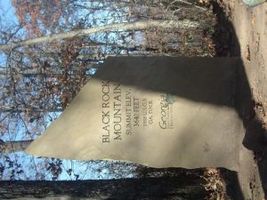
Black Rock Mountain State Park - Tennessee Rock Trail - Member Hike
| Hike Name: | Black Rock Mountain State Park - Tennessee Rock Trail |
|---|---|
| Country: | United States |
| State: | Georgia |
| Nearby Town: | Clayton |
| Rating: |  |
| Directions: | Located on Black Rock Mountain Parkway, 3 miles north of Clayton off U.S. Hwy. 441. Look for brown directional signs in Mountain City. |
| Total Hike Distance: | 2.20 miles |
| Hike Difficulty: | Moderate |
| Permit Required: | No |
| Hike Type: | Roundtrip, Loop Hike |
| Hike Starts/Ends: | Black Rock Mountain Parkway |
| Trails Used: | Tennessee Rock Trail |
| Backcountry Campsites: | No |
| Backcountry Water Sources: | None |
| Management: | State Forest Service |
| Contact Information: | Black Rock Mountain State Park P.O. Drawer A Mountain City, GA 30562 Reservations (800) 864-7275 Park Office (706) 746--2141 |
| Best Season: | Fall |
| Users: | Hikers |
| Road Conditions: | Primary Paved Roads, Secondary Paved Roads |
| Hike Summary: | The yellow-blazed 2.2 mile Tennessee Rock Trail winds through some of Black Rock Mountain State Park's highest and lushest forests and it is the most popular hiking trail in the park. The hike includes a guided tour to twenty-five interpretive posts on the route and a trip over Black Rock Mountain (3640') and Tennessee Rock Overlook. It is an easy to moderate hike that is designed for day-hikers. |
Recommended
Trip Reports
| Date | Rating | Duration | Hiker | |
|---|---|---|---|---|

|
November 19, 2005 |  |
1 day | Bam-Bam |

|
April 17, 2005 |  |
2 hours | Pixie |


There are no comments yet.