Backcountry Loop - Member Hike
| Hike Name: | Backcountry Loop |
|---|---|
| Country: | United States |
| State: | Georgia |
| Nearby Town: | Trenton |
| Rating: |  |
| Directions: | Getting There: GPS Info. (Latitude, Longitude): 34.48556, -85.29222 34°29'8"N, 85°17'32"W Located on GA Hwy136, 8 miles east of Trenton and exit 11 off I-59, or 50 miles west of Resaca and I-75 exit 320 |
| Total Hike Distance: | 2.00 miles |
| Hike Difficulty: | Easy |
| Permit Required: | No |
| Hike Type: | Roundtrip, Loop Hike |
| Hike Starts/Ends: | Backcountry Campsites Parking Area |
| Trails Used: | Backcountry Loop |
| Backcountry Campsites: | Yes |
| Backcountry Water Sources: | Streams |
| Management: | State Park Service |
| Contact Information: | Cloudland Canyon State Park 122 Cloudland Canyon Park Road Rising Fawn, GA 3073 Park 706-657-4050 Reservations 800-864-7275 |
| Best Season: | Winter, Spring, Summer, Fall |
| Users: | Hikers, Dogs |
| Road Conditions: | Primary Paved Roads, Secondary Paved Roads |
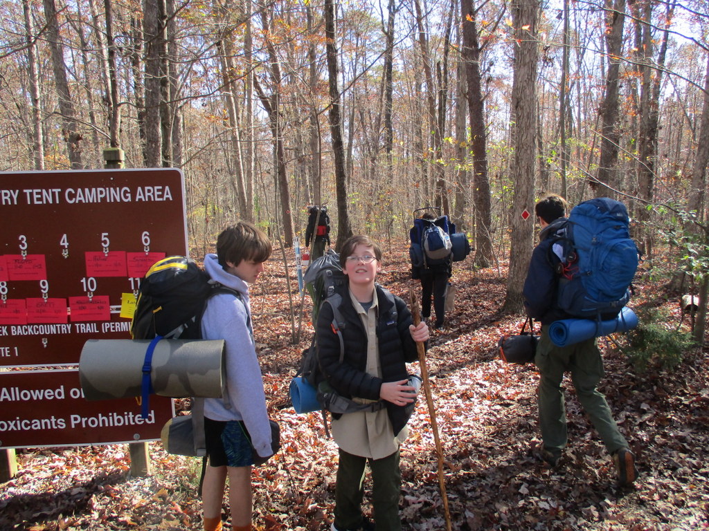
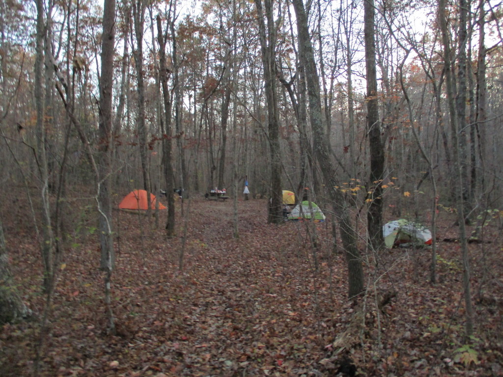
| Hike Summary: | The Backcountry Loop provides access to 13 secluded backcountry campsites in a thick canopy of hardwoods and hemlocks in the Park. On the loop there are multiple creek crossings over small bridges and this water can serve as a source if you are backcountry camping. It is an easy two mile hike from the parking area but can be joined with other trails if you are hiking and camping in the area. |
Recommended


Trip Reports
There are no Trip Reports yet.
There are no comments yet.