Yosemite National Park – Glacier Point - Member Hike
| Hike Name: | Yosemite National Park – Glacier Point |
|---|---|
| Country: | United States |
| State: | California |
| Nearby Town: | Fresno |
| Rating: |  |
| Directions: | Take CA-41 N out of Fresno for 61 miles to the south entrance of Yosemite National Park. Turn left onto Wawona Road. After approximately 26 miles, Wawona Road turns into Southside Drive. Drive another 3 miles and the trailhead will be on the right. Parking can be found along Southside Drive in this area as well as a couple more spots along Southside Drive within the next ½ mile or so. |
| Total Hike Distance: | 10.00 miles |
| Hike Difficulty: | Difficult |
| Permit Required: | No |
| Hike Type: | One-Way, Shuttle Hike |
| Hike Starts: | Parking Area along Southside Drive |
| Hike Ends: | Parking Area along Southside Drive |
| Trails Used: | Four Mile Trail |
| Backcountry Campsites: | No |
| Backcountry Water Sources: | None |
| Management: | National Park Service |
| Contact Information: | Yosemite National Park P.O. Box 577 Yosemite National Park, CA 95389-0577 Phone: 209-372-0200 http://www.nps.gov/yose/index.htm |
| Best Season: | Spring, Summer, Fall |
| Users: | Hikers |
| Road Conditions: | Primary Paved Roads, Secondary Paved Roads |
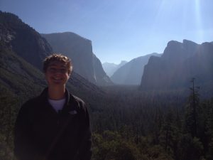
| Hike Summary: | This hike consists of a zillion switchbacks up and back down the south wall of Yosemite Valley. Although difficult, it provides outstanding views of El Capitan to the west, Yosemite Falls to the north, and Half Dome to the east. The route along Four Mile Trail starts at the valley floor across from the Merced River near elevation 4,000 feet and climbs to Glacier Point at elevation 7,214 feet. |


There are no comments yet.