Alta Meadow and Peak - Member Hike
| Hike Name: | Alta Meadow and Peak |
|---|---|
| Country: | United States |
| State: | California |
| Nearby Town: | Fresno |
| Rating: |  |
| Directions: | Take CA-180 E out of Fresno for 52 miles to the Big Stump Entrance of Sequoia and Kings Canyon National Parks. After the entrance, turn right on CA-198 W/Generals Highway. Drive 26 miles and turn left on Wolverton Road. Drive to the Wolverton parking area. |
| Total Hike Distance: | 20.00 miles |
| Hike Difficulty: | Moderate to Difficult |
| Permit Required: | Yes |
| Hike Type: | In & Out, Backtrack Hike |
| Hike Starts/Ends: | Wolverton Parking Lot |
| Trails Used: | Lakes and Alta Trails |
| Backcountry Campsites: | Yes |
| Backcountry Water Sources: | Streams |
| Management: | National Park Service |
| Contact Information: | Sequoia and Kings Canyon National Parks 47050 Generals Highway Three Rivers, CA 93271-9700 Phone: 559-565-3341 Fax: 559-565-3730 http://www.nps.gov/seki/index.htm |
| Best Season: | Spring, Summer, Fall |
| Users: | Hikers, Horses |
| Road Conditions: | Primary Paved Roads, Secondary Paved Roads |
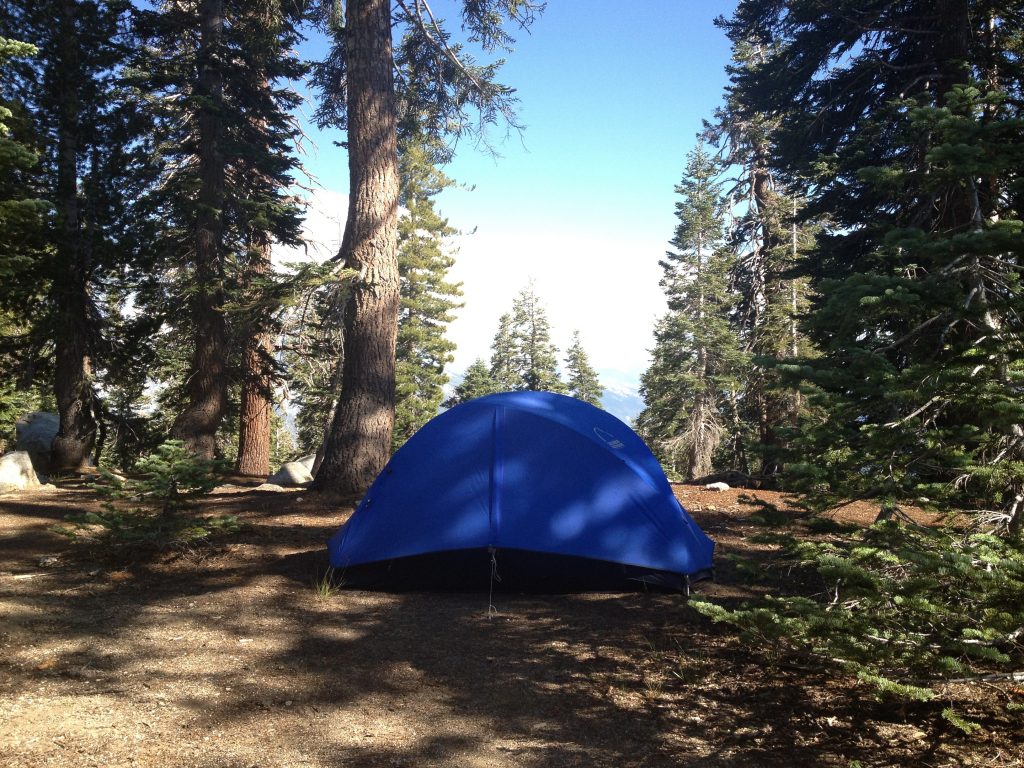
| Hike Summary: | At 11,204 feet, Alta Peak offers beautiful panoramic views of the Great Western Divide. This particular hike makes its way to the summit via the Alta Trail, which starts at the Wolverton parking lot in Sequoia National Park near elevation 7,250 feet. From the Wolverton parking lot, there is a short spur trail that leads somewhat northward to the main trail. The main trail continuous mostly eastward for the first mile before turning southeast and roughly following Wolverton Creek for nearly two miles as it makes its way toward Panther Gap. Along the way, there is a junction with a trail that leads to Pear Lake. However, staying on the main trail leads to Panther Gap and yet another junction. Although rarely seen as it winds its way through the thick forest, Wolverton Creek could likely be tapped as a water source all the way to its upper reaches near Panther Gap. Panther Gap is a nice place to stop for lunch or a quick snack, and offers up a glimpse of the great views that are yet to come. From Panther Gap, the trail to Alta Meadow and Peak traverses nearly due east for another mile before it reaches a junction with a connector trail that leads to the High Sierra Trail. Continuing east again for another mile, plus or minus, leads to the final junction. The trail to the left leads to the peak, while the main trail continues east to Alta Meadow. The summit is gained via a fairly steep, nearly 2-mile long, 2,000-foot high climb. There are several great places to set up camp along the way, including those at Panther Gap and Mehrten Meadow, but the hike to Alta Meadow is well worth the extra distance. The views from both Panther Gap and Alta Meadow are spectacular, but the one from Alta Meadow is far more expansive, and the solitude is far greater than that what you will likely find at either Panther Gap or Mehrten Meadow. Water can be pumped from a few of the small streams along the way, including the aforementioned Wolverton Creek, and another one just to the west of Alta Meadow. See the trip reports for additional information. |


Recommended


Trip Reports
| Date | Rating | Duration | Hiker | |
|---|---|---|---|---|

|
July 29, 2013 | |
1 day | Moondoggy |

|
July 28, 2013 | |
1 day | Moondoggy |

|
July 27, 2013 | |
1 day | Moondoggy |
There are no comments yet.