NationalParkHiker's Profile
| Name: | NationalParkHiker |
|---|---|
| Level / Points: |
 7,050 points |
| I am a: | Hiker - I prefer hiking over backpacking |
| I go hiking: | Several times a month |
| I usually go on hikes that are: | Difficult |
| Gender: | Male |
| Birthplace: | Gastonia, NC |
| Country: | United States |
| State: | South Carolina |
| City: | Central |
| Postal Code/ZIP: | 29630 |
| Biography: | 63 Yrs old, Retired. |
| My Best Hike: | Cloud's Rest, Yosemite NP |
| Best Hike Description: | Cloud’s Rest is a peak, 9,926 ft. high, on the North side of the valley overlooking Tenaya Canyon with Half Dome and Yosemite Valley in the distance and a clear, virtually unlimited 360 degree view of the surrounding countryside. The hike was a 14 mile round trip with a very steep, half mile climb of about 800 ft. at around the 2 mile mark, VERY rough on the upgoing muscles. The trail then continues down about another 500 ft. which, of course, must be regained enroute to the summit. But the rest of the hike consisted of mostly fairly easy ups and some downs until you reach around the 6 mile mark, then climbs the final 500 ft. of elevation or so in the last quarter mile. |
| My Worst Hike: | They're all good |
| A Memorable Trail Moment: | Sunset in Sequoia NP |
| Trails That I Want To Hike: | To hike all NPs before we die. |
NationalParkHiker's Hikes
| Name | Country | State/Province/Region | Difficulty | Distance | Rating | |
|---|---|---|---|---|---|---|

|
Wheeler Peak - Great Basin National Park | United States | Nevada | Difficult | 8.60 miles |  |
|
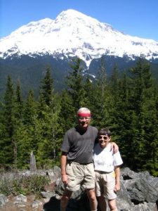
Rampart Ridge Trail - Mt. Rainier National PArk | United States | Washington | Moderate to Difficult | 5.00 miles |  |
|
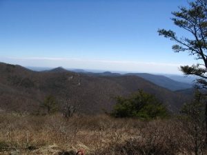
Neels Gap to Wolf Laurel Top | United States | Georgia | Moderate to Difficult | 8.00 miles |  |
|
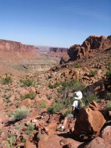
Syncline Loop – Canyonlands NP | United States | Utah | Very Difficult | 8.00 miles |  |

|
Coppermine Loop - Fundy National Park | Canada | New Brunswick | Easy to Moderate | 3.50 miles |  |
|
Issaqueena Forest Trails | United States | South Carolina | Easy to Moderate | 7.50 miles |  |
|
Grand Manan Island, NB | Canada | New Brunswick | Moderate to Difficult | 5.00 miles |  |
|
Buckwheat Knob/Bennet Gap - Pisgah National Forest | United States | North Carolina | Difficult | 8.00 miles |  |
|
Amicalola Falls State Park - East Ridge Trail | United States | Georgia | Moderate to Difficult | 2.00 miles |  |
|
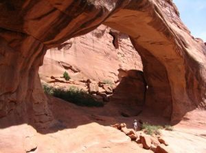
Tower Arch - Arches National PArk | United States | Utah | Moderate | 3.50 miles |  |
NationalParkHiker's Trip Reports
| Name | Date | Country | State/Province/Region | Rating | Duration | |
|---|---|---|---|---|---|---|
|
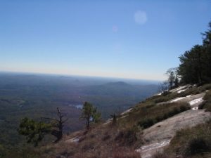
Table Rock Mountain | November 25, 2004 | United States | South Carolina |  |
5 hours |

|
Guadalupe National Park - McKittrick Canyon | May 22, 2004 | United States | Texas |  |
6 hours |
|
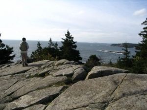
Great Head Trail | October 12, 2005 | United States | Maine |  |
1 hour |
