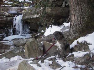
jayemm's Profile
| Name: | jayemm |
|---|---|
| Level / Points: |
 4,650 points |
| I am a: | Hiker/Backpacker - I enjoy both hiking and backpacking and have no preference |
| I go hiking: | Several times a month |
| I usually go on hikes that are: | Moderate to Difficult |
| Gender: | Male |
| Birthplace: | Bay Shore, NY |
| Country: | United States |
| State: | North Carolina |
| City: | Winston-Salem |
| Postal Code/ZIP: | 27106 |
| Biography: | Grew up on Long Island and now live in North Carolina. I love being out and enjoy any trail as long as I am away from crowds. My hiking partner is usually my dog, Loki. I also enjoy kayaking and bicycling. |
| My Best Hike: | Foothills Trail |
| Best Hike Description: | 32 intense and beautiful miles on the Foothills trail. Loved being out and there were very few people around. |
| My Worst Hike: | Linville Gorge |
| Worst Hike Description: | I love Linville Gorge, but got lost this one time right off the start. Ended up hiking more miles than planned and had to turn round and wound up camping right next to the car. It rained and hailed on us. It was a rough day/night, but we survived. |
| A Memorable Trail Moment: | There are many moments, but one time I decided to hammock camp in winter and ended up with snow drifts on my sleeping bag and surrounded by about four inches of snow. |
| Dumbest Trail Move: | A solar light water bottle cap that fits on my water bottle. It's heavy and never works right. |
| Trails That I Want To Hike: | Bartram Trail, MST, The John Muir trail, and many others. |
jayemm's Hikes
| Name | Country | State/Province/Region | Difficulty | Distance | Rating | |
|---|---|---|---|---|---|---|
|
AT:Carvers Gap-Stan Murray Shelter | United States | Tennessee | Moderate | 6.60 miles |  |
|
Grandfather Mountain | United States | North Carolina | Difficult | 6.00 miles |  |
|
Cumberland Knob | United States | North Carolina | Moderate to Difficult | 2.60 miles |  |
|
South Mountain State Park loop hike | United States | North Carolina | Difficult | 14.00 miles |  |

|
Doughton Park- Bluff Mountain/Bluff Ridge Trail | United States | North Carolina | Very Difficult | 14.00 miles |  |
|
Wilson Creek Area: Lost Cove Trail | United States | North Carolina | Very Difficult | 7.50 miles |  |

|
Pilot Mountain-loop hike | United States | North Carolina | Moderate to Difficult | 7.50 miles |  |

|
Mount Rogers National Recreation Area | United States | Virginia | Moderate | 6.50 miles |  |

|
Caudill Cabin-Doughton Park | United States | North Carolina | Moderate to Difficult | 10.00 miles |  |
|
Table Rock, North Carolina | United States | North Carolina | Moderate to Difficult | 11.00 miles |  |
jayemm's Trip Reports
| Name | Date | Country | State/Province/Region | Rating | Duration | |
|---|---|---|---|---|---|---|
|
Uwharrie Mountains | January 14, 2012 | United States | North Carolina |  |
3 days |

|
Mount Rogers National Recreation Area | December 27, 2011 | United States | Virginia |  |
2 days |
|
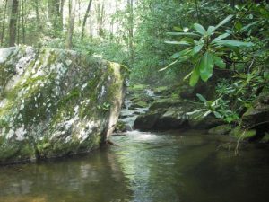
Caudill Cabin-Doughton Park | June 26, 2011 | United States | North Carolina |  |
1 day, 6 hours |
|
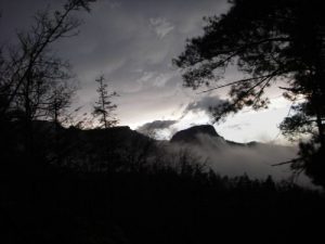
Table Rock, North Carolina | April 29, 2011 | United States | North Carolina |  |
2 days |
