Pine Log Creek Trail - Member Hike
| Hike Name: | Pine Log Creek Trail |
|---|---|
| Country: | United States |
| State: | Georgia |
| Nearby Town: | Waleska |
| Rating: |  |
| Directions: | From Exit 293 on I 75 turn right onto US 411 North. After about 7.5 miles turn right onto GA 140 East. Continue approximately 3.2 miles to Pine Log Creek Trail System parking area on left. |
| Total Hike Distance: | 5.00 miles |
| Hike Difficulty: | Moderate |
| Permit Required: | No |
| Hike Type: | Roundtrip, Loop Hike |
| Hike Starts/Ends: | Pine Log Creek Trail Rec Area Parking Lot |
| Trails Used: | Pine Log Creek Trail |
| Backcountry Campsites: | No |
| Backcountry Water Sources: | Streams, Lakes |
| Management: | City Park Service |
| Contact Information: | Bartow County Park Services |
| Best Season: | Winter, Spring, Summer, Fall |
| Users: | Hikers, Dogs |
| Road Conditions: | Primary Paved Roads, Maintained Gravel or Dirt Roads |
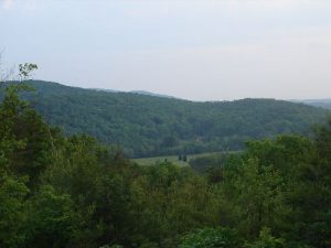
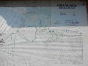
| Hike Summary: | The trail is a 5 mile path crossing seven rustic footbridges over Pine Log Creek. From two overlooks, hikers can view Pine Log Mountain - one of the highest elevations in Bartow County's Appalachian foothills. The trail system includes two loops east and west and is rated moderate. Although some of the terrain is rugged there is only one significant climb, with an elevation gain of about 420 feet. The eastern loop takes hikers by an early CCC quarry pond for picturesque views. |
Recommended
Trip Reports
| Date | Rating | Duration | Hiker | |
|---|---|---|---|---|

|
March 28, 2010 |  |
2 hours | Tim_Nut |

|
May 6, 2008 |  |
2 hours, 45 minutes | Drip Dry |


3 replies on “Pine Log Creek Trail - Member Hike”
I love this hike! We go every other day! If you haven’t come yet, come soon!
A nice afternoon hike
great hike