Lyons Falls at Mohican State Park - Member Hike
| Hike Name: | Lyons Falls at Mohican State Park |
|---|---|
| Country: | United States |
| State: | Ohio |
| Nearby Town: | Loudonville |
| Rating: |  |
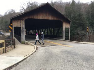
| Directions: | From downtown Loudonville, head south on OH-3 South / South Market Street for approximately 2.5 miles and then turn right onto OH-97 West. After another 3 miles, turn right onto, and then make a hard left to stay on, ODNR Mohican Road 51 / Park Road. The Lyons Falls trailhead parking area will be on the right after approximately 1.5 miles and right before reaching the covered bridge over the Clear Fork Mohican River. |
| Total Hike Distance: | 2.60 miles |
| Hike Difficulty: | Easy |
| Permit Required: | No |
| Hike Type: | Roundtrip, Loop Hike |
| Hike Starts/Ends: | Lyons Falls Trailhead Parking Area |
| Trails Used: | Lyons Falls and Pleasant Hill Trails |
| Backcountry Campsites: | No |
| Backcountry Water Sources: | Streams, Rivers |
| Management: | State Park Service |
| Contact Information: | Park Office Phone: (419) 994-5125 Website: http://parks.ohiodnr.gov/mohican |
| Best Season: | Winter, Spring, Summer, Fall |
| Users: | Hikers |
| Road Conditions: | Primary Paved Roads, Secondary Paved Roads |
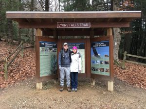
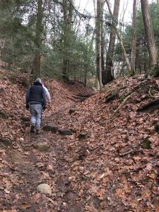
| Hike Summary: | Located approximately an hour and a half northeast of Columbus, Mohican State Park encompasses nearly 1,100 acres, while the adjacent state forest adds just over another 4,500 acres. The Mohican-Loudonville area is probably most known for both its paddling opportunities and its acclaimed 25-mile mountain biking trail. However, there are also several hiking opportunities, most of which consists of shorter, easier trails. This particular hike starts at the Mohican Covered Bridge and follows the Lyons Falls Trail in a northwest direction parallel to and along the bank of the Clear Fork Mohican River. After approximately a half mile, the hike turns left at a junction and then heads southwest to Big Lyons Falls. From Big Lyons Falls, the trail meanders back and forth with mostly an overall northern bearing towards the Pleasant Hill Lake Dam, passing Little Lyons Falls along the way. From the dam, the hike returns to the covered bridge via the mostly level Pleasant Hill Trail, which runs southeast along the opposite bank of the Clear Fork Mohican River. The two falls themselves are less than spectacular, but the hike through the hemlock forest and along the Clear Fork Mohican River is very scenic, making the hike worthy of one’s time. |




There are no comments yet.