Bussey Point - Member Hike
| Hike Name: | Bussey Point |
|---|---|
| Country: | United States |
| State: | Georgia |
| Nearby Town: | Lincoln Co. GA |
| Rating: |  |
| Directions: | Directions: From the Hwy. 47 Little River Bridge in Lincoln Co. GA, go north 1.8 miles and turn right on Ashmore-Barden Rd. Go 3 miles to stop sign and turn right on Double Branches Rd. Go 3 miles until pavement ends. Continue straight on dirt road 0.5 miles to check station and parking area. |
| Total Hike Distance: | 12.60 miles |
| Hike Difficulty: | Moderate |
| Permit Required: | No |
| Hike Type: | Roundtrip, Loop Hike |
| Hike Starts/Ends: | Bussey Campground Day Parking Area |
| Trails Used: | Bussey Point Horse Trail |
| Backcountry Campsites: | Yes |
| Backcountry Water Sources: | Lakes |
| Management: | Other |
| Contact Information: | U.S. Army Corps of Engineers, Savannah District 100 W. Oglethorpe Ave Savannah, GA 31401 800-448-2402 |
| Best Season: | Winter, Spring, Fall |
| Users: | Hikers, Bikers, Dogs, Horses |
| Road Conditions: | Primary Paved Roads, Secondary Paved Roads, Maintained Gravel or Dirt Roads |
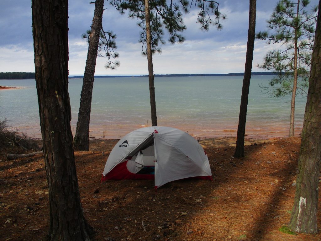
| Hike Summary: | Bussey Point is a 2,545 acre peninsula at the confluence of the Savannah and Little River that is adjacent to Strom Thurmond Lake. It can be explored via the Bussey Point Horse Trail or by using a combination of horse trails and dirt roads that cut through the area. Hikers and mountain bikers are also permitted to use the trails but should yield to the horsemen. The Bussey Point Horse Trail is a 12.4 mile route that circles the peninsula and has occasional views of the lake. It starts at the Day Use Parking area in Bussey Point Campground and has occasional views of the lake. Currently there are 10 primitive campsites near the trail entrance available for $6 a night on a first come first serve basis, but the backcountry area is closed to hikers and others during annual management hunts. |


Recommended


Trip Reports
There are no Trip Reports yet.
One reply on “Bussey Point - Member Hike”
Nice pics!