Mount Rainer National Park - Wonderland Trail - Member Hike
| Hike Name: | Mount Rainer National Park - Wonderland Trail |
|---|---|
| Country: | United States |
| State: | Washington |
| Nearby Town: | Ashford |
| Rating: |  |
| Directions: | Year-round access to the park is via SR 706 to the Nisqually Entrance in the SW corner of the park. Limited winter access is available via Hwy. 123 in the SE corner of the park. The Carbon River/Mowich Lake area (NW corner) is accessed via SR 165 through Wilkeson. Summer access is available via Hwy. 410 on the N and E sides of the park. Private carriers provide bus and van service. Gray Line Tours (800-426-7532 or 206-626-5208) offers daily trips from Seattle to Paradise from May 1 to September 30. Ashford Mountain Center (360-569-2604) offers shuttle services from June through September to/from Sea-Tac airport and destinations within the park. There are five areas which serve as bases for exploration: - Longmire (southwest corner) - Paradise (south side) - Ohanapecosh (southeast corner) - Sunrise/White River (east side) - Carbon River/Mowich Lake (northwest corner). Parking can be difficult or impossible to find on sunny summer weekends at Paradise, Sunrise, Grove of the Patriarchs, and at trailheads between Longmire and Paradise. Try to visit these areas on weekdays, arrive early in the day, and carpool to the park. Parking is not permitted along road edges. Park roads are winding and road shoulders are narrow. The maximum speed limit is 35 mph in most areas. Allow plenty of travel time during your visit. |
| Total Hike Distance: | 4.00 miles |
| Hike Difficulty: | Moderate |
| Permit Required: | No |
| Hike Type: | In & Out, Backtrack Hike |
| Hike Starts/Ends: | Sunrise Parking Area |
| Trails Used: | Wonderland Trail |
| Backcountry Campsites: | No |
| Backcountry Water Sources: | Streams, Snow |
| Management: | National Park Service |
| Contact Information: | Mount Rainer National Park Tahoma Woods, Star Route Ashford, WA 98304-9751 By Phone Headquarters 360-569-2211 Headquarters (TDD) 360-569-2177 Visitor Information 360-569-2211 x. 3314 |
| Best Season: | Summer |
| Users: | Hikers |
| Road Conditions: | Primary Paved Roads, Secondary Paved Roads |
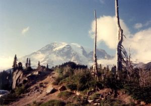
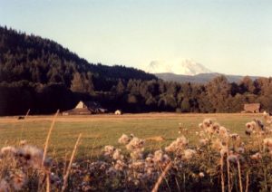
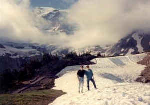
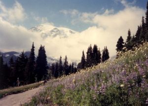
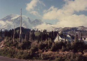
| Hike Summary: | Mount Rainer National Park was created in 1899, and it currently has 235,625 acres of forest (of which 97% is designated wilderness). Nearly two million people come to enjoy the grandeur and beauty of the park each year. It includes Mount Rainier (14,410'), an active volcano encased in over 35 square miles of snow and ice and contains outstanding examples of old growth forests and sub-alpine meadows. Hikers and backpackers can hike a section or circumvent the entire base of Mount Rainer on the Wonderland Trail. It is a 93 mile loop that has spectacular and sometimes close-up views of the numerous glaciers on the mountain. The driest months are in July and August, and the trail can be particularly challenging in sections (with some difficult fords across cascading streams), but this is a magnificent trail to experience whether you chose to day-hike or thru-hike the entire trail (in which case the park service recommends 10 to 14 days). This short hike is a four mile section of the Wonderland Trail near Sunrise that is best done as a day hike. |


There are no comments yet.