| Trip Report: |
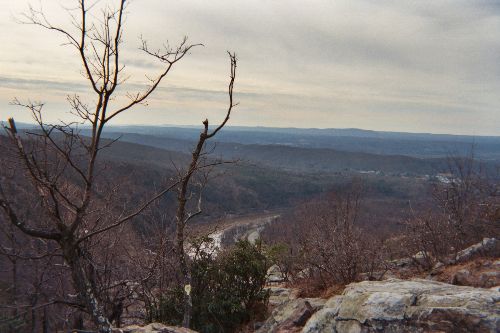
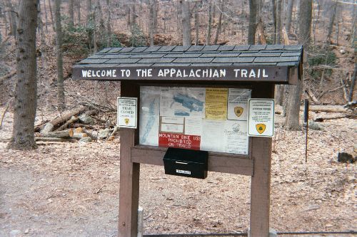
After a 2 1/2 hour drive from Princeton, NJ, I finally hit the trail around 2:30pm this afternoon and was surprised at the number of people out on a Wednesday. I passed nine people in the first 0.3 miles on the Appalachian Trail but all were bottle-necked at a washed out bridge and stream that was knee deep. Technically the Blue Blazed Trail was closed, but the stream was no worse than many of the creeks I forded in Maine during my thru-hike and I decided to take off the boots and head across. This turned out to be a blessing. I only saw one other person on the way to Mt. Tammany during the next hour - a backpacker that was headed to Sunfish Pond for the night. As a result, it was very peaceful on the trail this afternoon and there were great views in all directions with no leaves on the trees. A few small patches of snow lingered on the northern facing slopes and at least ten turkey vultures cruised the skies around Mt. Tammany. On the decent via the Red Dot Trail, I started seeing other hikers again and passed at least eight people that were headed to the summit to check out the 180 degree view of the Deleware Water Gap and River. Overall, this was a very pleasant hike that can be done in either direction by a fit hiker in two hours. |


There are no comments yet.