Baxter State Park - Daicey Pond - October 2, 2004 - Member Trip Report
| Hike Name: | Baxter State Park - Daicey Pond |
|---|---|
| Country: | United States |
| State: | Maine |
| Trip Rating: |  |
| Trip Date: | October 2, 2004 |
| Duration: | 2 hours |
| Trail Conditions: | Good |
| Trail Traffic: | Light to Moderate |
| Trip Weather: | Sunny, Partly Sunny |
| Trip Winds: | Light |
| Trip Precipitation: | None |
| Trip Temperature: | High: 71-80, Low: 41-50 degrees Fahrenheit |
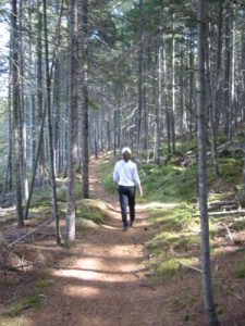
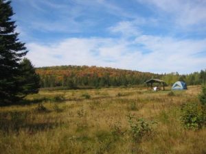
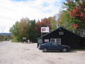
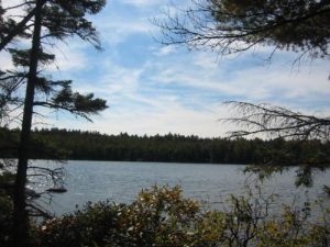
| Trip Report: | 10/02/04 (Saturday): It was partly cloudy this morning but the skies cleared by 10am. Pixie and I had a leisure morning around the campsite and cooked breakfast and finished off the rest of the firewood. It was cool, but it warmed up quickly and by 11am we were on the road and headed down to Daicy Pond where we hiked a four mile loop. We followed the A.T. northbound for a little over a mile, then looped back past three ponds on the way to the parking area. Even at this elevation (around ~1500 feet) there were numerous fir trees along the trail. It was a fairly easy and very pleasant hike. Pixie and I left the park by 2:30pm and cut over to an unimproved road that took us to Abol Bridge (at the edge of the 100 Mile Wilderness). I wanted to see this area again, and both the store and campground were exactly as I remembered it in 1994. After snapping a few photos and walking the area, Pixie and I drove into Millinocket for a late lunch at McDonalds. We considered heading down to Monson and hiking another piece of the A.T., but it was already 3:30pm and we were pretty much out of time. So we hit I-95 and drove down to Bangor for the night and caught a movie, The Forgotten, at a nearby mall. There was a small restaurant/pub next to our Hampton Inn and after the movie, we had a late dinner then sacked out for the night. A cold rain rolled into the Bangor area around 9pm, and I was glad we were in the wilderness last night and not tonight. |


There are no comments yet.