Rocky Mountain National Park - Tonahutu Trailhead to Longs Peak Trailhead - August 13, 2010 - Member Trip Report
| Hike Name: | Rocky Mountain National Park - Tonahutu Trailhead to Longs Peak Trailhead |
|---|---|
| Country: | United States |
| State: | Colorado |
| Trip Rating: |  |
| Trip Date: | August 13, 2010 |
| Duration: | 1 day |
| Trail Conditions: | Excellent |
| Trail Traffic: | Moderate |
| Trip Weather: | Partly Sunny |
| Trip Winds: | Heavy |
| Trip Precipitation: | None |
| Trip Temperature: | High: Below 0, Low: Below 0 degrees Fahrenheit |
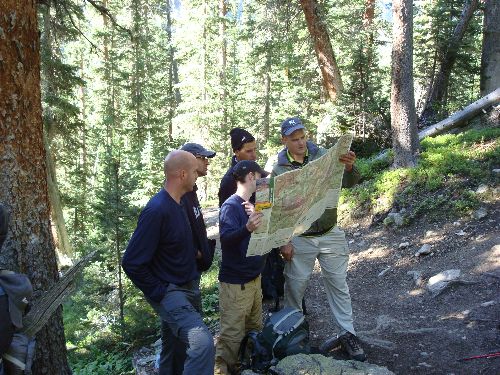
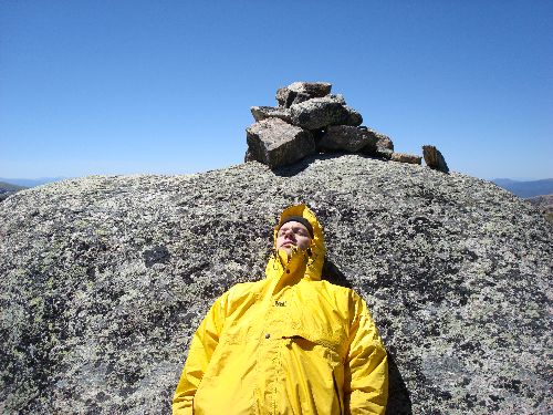
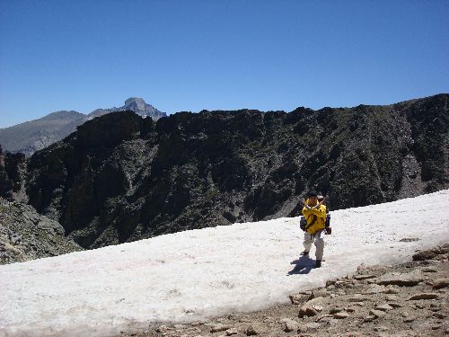
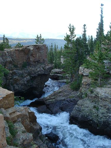
| Trip Report: | Day two begins with a bone-jarring 300-foot decent back down to the main trail, and then continues mostly eastward and upward toward the summit of Flattop Mountain at elevation 12,324 feet. The majority of this 1,864-foot climb takes place in the first three quarters of a mile, before turning into a more gradual trek, first along an exposed ridgeline that runs parallel to, and just below, the continental divide, and then concurrent with the continental divide for a short stretch as the trail rises up and over the massif of Flattop. The section over Flattop is totally exposed, but the views are breathtaking, as is the hiking at altitude. There are no real reliable sources of water along this section, so be sure to fill up at the small tributary feeding the upper reaches of Tonahutu Creek. This is the last stream crossing before breaking tree line in the earlier part of the day. On the way down the east side of Flattop, there are several lakes visible in the lower elevations, including the intermediate destination of Bear Lake off in the distance at elevation 9,475 feet. Bear Lake is a great location to stop, eat, rest, and watch the hordes of tourists file on and off the shuttle buses. From Bear Lake, either take the short 0.4-mile connector trail, or hop on the shuttle for a short ride to the Glacier Gorge Trailhead. Either way, the final leg of this day’s hike is a 3.9-mile, 960-foot climb to Boulder Brook, the second backcountry campsite. Along the way, be sure to snap a couple pictures of the cascading whitewater at Alberta Falls. Once you reach the spur trail for the Boulder Brook campsite, which is actually a through trail back to the Storm Pass Trailhead, don’t mistakenly assume your hike is over. Similar to the Haynach campsite, the distance back to this campsite off the main trail seems never-ending. The Boulder Brook campsite is located in a pine and spruce-fir forest, and is by far the nicest campsite of the trip. Water is available at the campsite from Boulder Brook. Word to the wise, this second day’s hike is not for the faint of heart. When you call to make your backcountry permit reservation, you will likely be warned of this, and be asked to confirm that everyone in your group is in good enough shape to complete this distance at altitude. Pay attention. They are asking for good reason. Second Day Starting Elevation = 10,760 feet Ending Elevation = 10,200 feet High Point Elevation = 12,324 feet Total Distance = 11.9 miles (if you take the shuttle from Bear Lake to the Glacier Gorge Trailhead, otherwise add 0.4 miles) |


There are no comments yet.