Hastings Peak Via Bailey Canyon Trail, Return Via Mt. Wilson Trail - March 4, 2006 - Member Trip Report
| Hike Name: | Hastings Peak Via Bailey Canyon Trail, Return Via Mt. Wilson Trail |
|---|---|
| Country: | United States |
| State: | California |
| Trip Rating: |  |
| Trip Date: | March 4, 2006 |
| Duration: | 5 hours, 45 minutes |
| Trail Conditions: | Poor |
| Trail Traffic: | Moderate |
| Trip Weather: | Partly Cloudy |
| Trip Winds: | Light |
| Trip Precipitation: | None |
| Trip Temperature: | High: 51-60, Low: 51-60 degrees Fahrenheit |
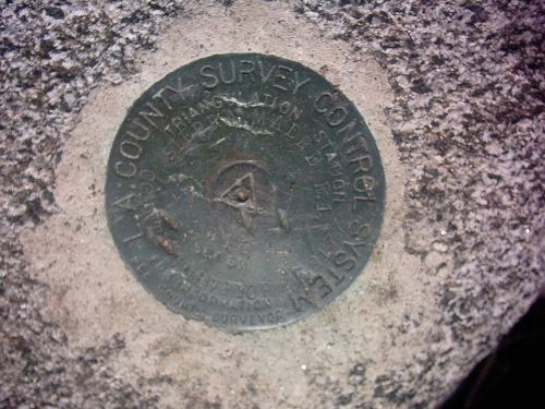
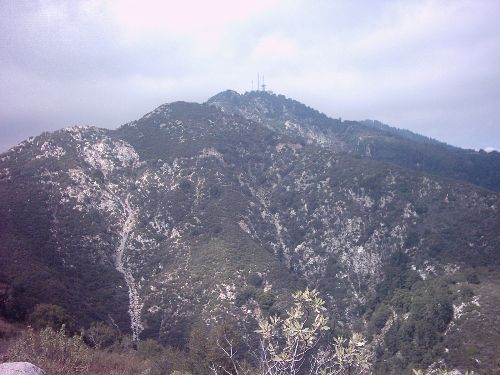
| Trip Report: | I have aquired a GPS receiver. I will be entering the data from the trip computer from now on. I found that writing down all of the times and details took away from the experience. From now on I will put down the numbers, and type in some observations. So here it is: Trip Distance=9.96 Miles (including the walk between trailheads on city streets) Moving Time=3hours23min Stopped time=2hours19minutes(unsure whether it counts lost signal time in this category. Most of this tim accumulated on the way up canyon where reception is spotty.?????) Total Time=5Hours43Min Moving Avg Spedd=2.8mph Overall avg speed=1.7mph Trail traffic was moderate until reaching Jones saddle, beyond that it was light until I met with the Mount Wilson Trail. Traffic was a little heavy there. It was hazy with a bit of marine layer thing happening. The best views to be had were of the peaks north of Hastings peak. Mt. Harvard and Wilson were being assaulted by swirling dark clouds. they looked both close and far away at the same time. Not something that you can capture in the pictures. Not sure if I'm brave enough to do this one in stormy weather but, I bet it would be interesting to see. I think Hastings might just jut above low lying clouds. |


There are no comments yet.