Grayson Highlands State Park / Mount Rogers NRA - Massie Gap to Mount Rogers - Member Hike
| Hike Name: | Grayson Highlands State Park / Mount Rogers NRA - Massie Gap to Mount Rogers |
|---|---|
| Country: | United States |
| State: | Virginia |
| Nearby Town: | Marion |
| Rating: |  |
| Directions: | Off I-81, take exit 50 and head south on Nicks Creek Road. Travel approximately 4.5 miles, and turn left on Sugar Grove Highway (Virginia 16). Travel another 17.5 miles and turn right on Highlands Parkway (US 58). Drive 7.7 miles and turn right into Grayson Highlands State Park on Grayson Highland Lane (Virginia 362). Stop and register at the Information and Registration Center, and then drive on past the Sugarland Overlook on the right. At the second intersection, turn right. The Overnight Backpacker’s Lot will be on the immediate left. |
| Total Hike Distance: | 10.00 miles |
| Hike Difficulty: | Easy to Moderate |
| Permit Required: | Yes |
| Hike Type: | In & Out, Backtrack Hike |
| Hike Starts/Ends: | Massie Gap / Overnight Backpackers' Lot at Grayson Highlands State Park |
| Trails Used: | AT Spur Trail, Appalachian Trail, Mount Rogers Spur Trail, and the Wilburn Ridge Trail |
| Backcountry Campsites: | Yes |
| Backcountry Water Sources: | Springs |
| Management: | State Park Service |
| Contact Information: | Grayson Highlands State Park 829 Grayson Highland Lane Mouth of Wilson, Virginia 24363 (276) 579-7092 http://www.dcr.virginia.gov/state_parks/gra.shtml Mount Rogers National Recreation Area 3714 Highway 16 Marion, Virginia 24354 (276) 783-5196 www.southernregion.fs.fed.us/gwj/mr |
| Best Season: | Spring, Summer, Fall |
| Users: | Hikers, Horses |
| Road Conditions: | Secondary Paved Roads |
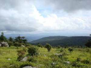
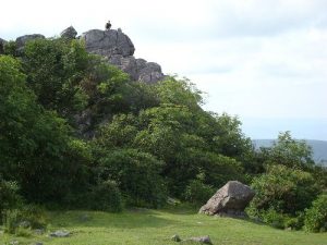
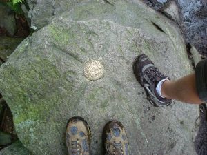
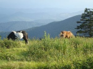
| Hike Summary: | This hike in Grayson Highlands State Park and the Mount Rogers National Recreation Area begins at Massie Gap, and immediately embarks on a short climb northward through a small hardwood forest via the Appalachian Spur Trail. Halfway up, the spur trail opens up to the beautiful grassy meadows and rocky outcrops that make this area so unique. At the end of the 3/4-mile spur trail, the hike intersects with, and continues west on, the Appalachian Trail. The AT gradually curves north, and continues on to Rhododendron Gap, where it intersects with the Pine Mountain and Crest Trails. There are myriad trails along this section, including the Rhododendron Gap and Wilburn Ridge Trails, so take your pick. The views from all are spectacular. At Rhododendron Gap, the hike continues westward toward the Thomas Knob Shelter, and onward to the Mount Rogers Spur Trail. The hike up the Mount Rogers Spur Trail is a short one at approximately one half mile and roughly 300 feet of elevation gain, but at 5,729 feet, the summit marks the highest point in Virginia. The spur trail threads its way through a dense, dark growth of pines, both standing and fallen, and the almost Lord-of-the-Rings-like feel is in stark contrast to the vast open areas marking the majority of the surrounding areas. We had either read or heard from several hikers that the summit is anticlimactic since there are no views from the top. However, we found the short jaunt worthwhile, and enjoyed the experience. With the exception of the substitution of the Wilburn Ridge Trail for a portion of the Appalachian Trail, the hike out is merely a reverse of the hike in. The Wilburn Ridge Trail offers some unique rock scrambling opportunities, and provides some interesting variety to the hike. There are numerous camping sites available along the portion of the AT located between the Thomas Knob Shelter and Rhododendron Gap, and many of them offer some nice views. The relatively moderate terrain coupled with great views and an assortment of habitat serve as a great hike for youngsters, and the wild ponies only add to the experience. |


There are no comments yet.