Padre Island National Seashore - Member Hike
| Hike Name: | Padre Island National Seashore |
|---|---|
| Country: | United States |
| State: | Texas |
| Nearby Town: | Corpus Christi |
| Rating: |  |
| Directions: | Take I-37 South to Texas 357, then take Texas 358 West to County Road 22. 22 heads southwest to Malquite Beach headquarters. |
| Total Hike Distance: | 61.00 miles |
| Hike Difficulty: | Difficult |
| Permit Required: | No |
| Hike Type: | One-Way, Shuttle Hike |
| Hike Starts: | Mansfield Cut |
| Hike Ends: | Malquite Beach Headquarters |
| Trails Used: | No trails in this area. Straight beach hiking |
| Backcountry Campsites: | Yes |
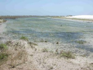
| Backcountry Water Sources: | Lakes |
| Management: | National Park Service |
| Contact Information: | By Mail Superintendent PO Box 181300 Corpus Christi, TX 78480-1300 By Phone Headquarters (361) 949-8173 www.nps.gov/pais/pphtml/maps.html |
| Best Season: | Spring, Summer, Fall |
| Users: | Hikers, Bikers, Dogs, Horses |
| Road Conditions: | Primary Paved Roads, Maintained Gravel or Dirt Roads |
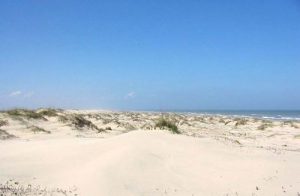
| Hike Summary: | This is a long trip, but one of the best you will ever take. Although the Park is open to 4-wheel drive vehicles, you rarely see any except during Spring Break and the holiday weekends in the Summer. Several shipwrecks are visible during the hike, lying in only a couple of feet of water at low tide. Over 600 varieties of birds and mammals live in the Park, and they are easy to find and see. Occasionally you may run into 12" diameter glass fishnet floats from Portugal and Spain, or 8 foot tall longline floats from Japanese tuna ships. Water is available if you know where to look, fish are plentiful, and are yours for the catching. It is tough to do this trip if you don't have access to a boat, but local charter services will be more than willing to help you out. |


There are no comments yet.