Big Bend National Park – Santa Elena Canyon - Member Hike
| Hike Name: | Big Bend National Park – Santa Elena Canyon |
|---|---|
| Country: | United States |
| State: | Texas |
| Nearby Town: | Terlingua |
| Rating: |  |
| Directions: | From Terlingua, take FM170 east for approximately 4.5 miles and turn right on TX-118 South. Travel another 4 miles and turn right onto Maverick Road and drive approximately 12.5 miles to the Santa Elena Canyon trailhead. |
| Total Hike Distance: | 1.70 miles |
| Hike Difficulty: | Easy |
| Permit Required: | No |
| Hike Type: | In & Out, Backtrack Hike |
| Hike Starts/Ends: | Santa Elena Canyon Trailhead |
| Trails Used: | Santa Elena Canyon Trail |
| Backcountry Campsites: | No |
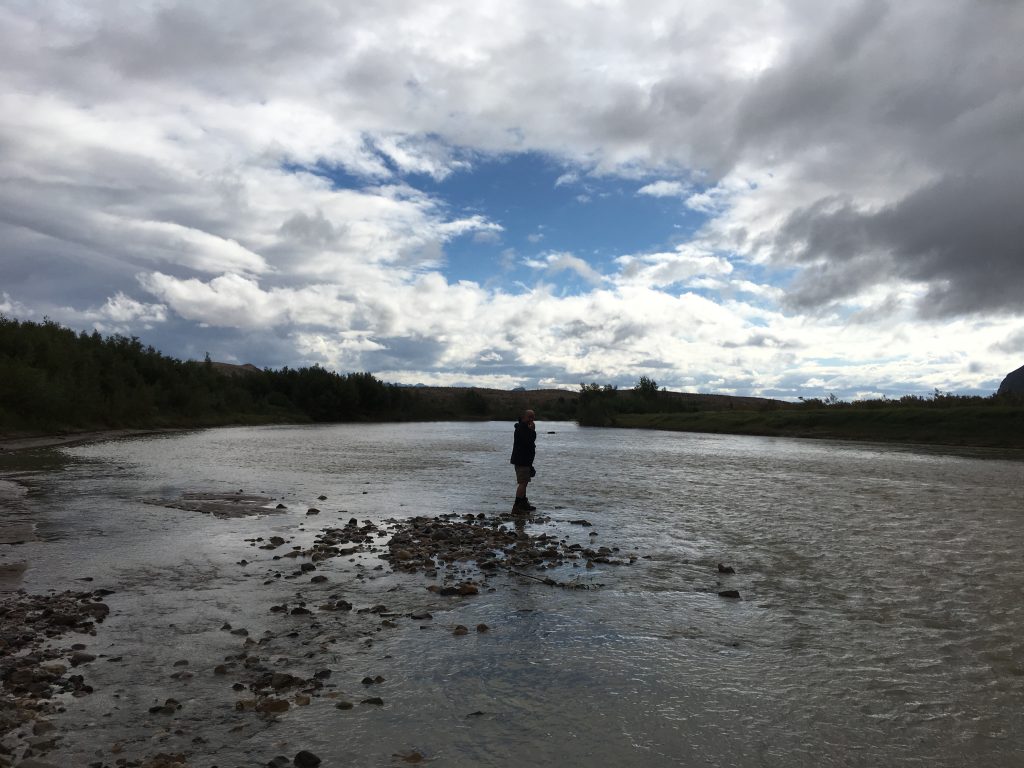
| Backcountry Water Sources: | Rivers |
| Management: | National Park Service |
| Contact Information: | Big Bend National Park P.O. Box 129 Big Bend National Park, Texas 79834 Phone: (432) 477-2251 https://www.nps.gov/bibe/index.htm |
| Best Season: | Winter, Spring, Summer, Fall |
| Users: | Hikers |
| Road Conditions: | Primary Paved Roads |
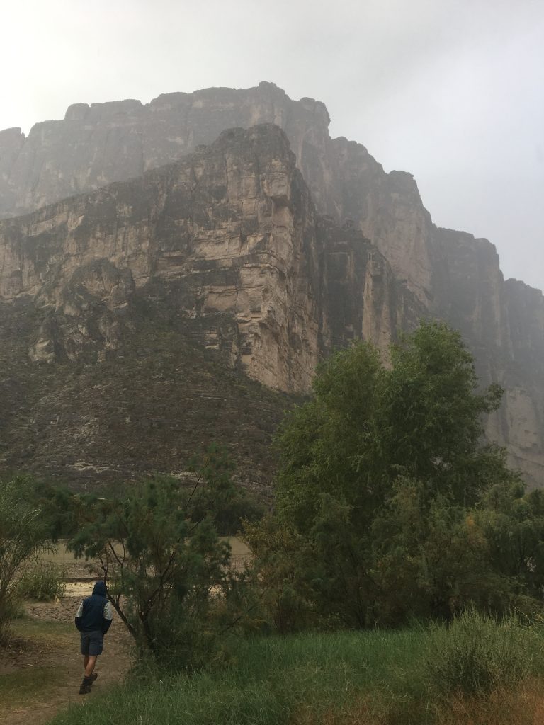
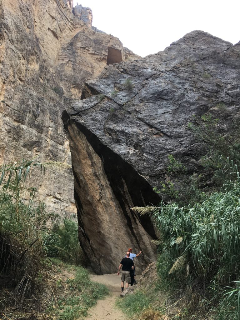
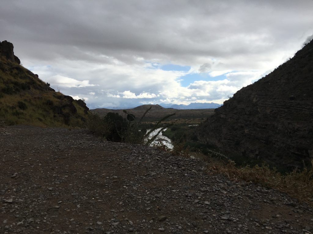
| Hike Summary: | Big Bend has more than 150 miles of trails for both day hikes and backpacking trips, with several short hikes located along the banks of the Rio Grande. Elevations throughout the park range from 1,800 feet along the Rio Grande to 7,832 feet atop Emory Peak. This particular hike was an easy, but gorgeous hike into Santa Elena Canyon. |


There are no comments yet.