Pioneer Loop Trail - Member Hike
| Hike Name: | Pioneer Loop Trail |
|---|---|
| Country: | United States |
| State: | Tennessee |
| Nearby Town: | Crossville |
| Rating: |  |
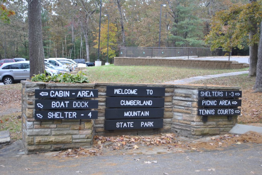
| Directions: | From Interstate 40 turn onto exit #317. Travel south on US Hwy 127 for 8.5 miles where you will then take the left side of the fork in the road to follow 127 south then in approximately 1/2 a mile you will see the park entrance on the right side of the road. |
| Total Hike Distance: | 3.00 miles |
| Hike Difficulty: | Easy |
| Permit Required: | No |
| Hike Type: | Roundtrip, Loop Hike |
| Hike Starts/Ends: | at parking area next to boat dock |
| Trails Used: | pioneer short loop and pioneer loop |
| Backcountry Campsites: | No |
| Backcountry Water Sources: | Lakes, Springs |
| Management: | State Park Service |
| Contact Information: | Cumberland Mountain State Park 24 Office Dr. Crossville , TN 38555 Office: 931-484-6138 |
| Best Season: | Spring |
| Users: | Hikers, Dogs |
| Road Conditions: | Primary Paved Roads |
| Hike Summary: | Hike starts next to sign by boat dock. It passes the cabins on the left side of the trail following the shore line over the lookout rock and a few small springs before it gets to the cut off for the pioneer short loop trail. The pioneer loop trail at this point continues straight until you hit a road with a bridge where you will walk across the road bridge then reenter the trail on the other side. There are a couple of small foot bridges over small springs along this section of the hike and it rejoins the other portion of the pioneer short loop trail on the other side of the lake beside the swinging bridge and then it winds around until it reaches the bridge beside the boat dock. |


There are no comments yet.