Great Smoky Mountains National Park - Newfound Gap to Charlies Bunion - Member Hike
| Hike Name: | Great Smoky Mountains National Park - Newfound Gap to Charlies Bunion |
|---|---|
| Country: | United States |
| State: | Tennessee |
| Nearby Town: | Gatlinburg, TN |
| Rating: |  |
| Directions: | From Cherokee, NC drive US441 north, or from Gatlinburg, TN drive US441 south, about 20 miles to Newfound Gap, which is right on the border between the two states. There is a large parking area at the trailhead on the North Carolina side. At the trailhead, the left trail goes to the observation platform (clearly visible above the parking lot) in the gap, the right trail goes to the restrooms, and the center trail is the Appalachian Trail. |
| Total Hike Distance: | 8.80 miles |
| Hike Difficulty: | Easy to Moderate |
| Permit Required: | No |
| Hike Type: | In & Out, Backtrack Hike |
| Hike Starts/Ends: | Newfound Gap |
| Trails Used: | Appalachian Trail |
| Backcountry Campsites: | Yes |
| Backcountry Water Sources: | Springs |
| Management: | National Park Service |
| Contact Information: | Great Smoky Mountains National Park 107 Park Headquarters Rd. Gatlinburg, TN 37738 865-436-1200 www.nps.gov/grsm |
| Best Season: | Spring, Summer, Fall |
| Users: | Hikers |
| Road Conditions: | Primary Paved Roads |
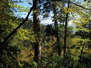
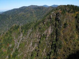
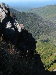
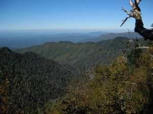
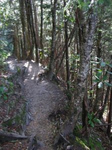
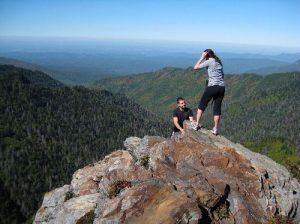
| Hike Summary: | Follow the Appalachian Trail east from Newfound Gap 4.4 miles to Charlies Bunion. The trail climbs immediately from the trailhead for 2.5 miles rising about 1100 feet to the top of Mount Ambler. On the Tennessee side of the mountain in some places the trail is adjacent to a sheer dropoff, and much of this stretch is rocky and rough. On the north side of Mount Ambler, the trail drops 100’ into a saddle, and then after crossing to the North Carolina side it descends another 100’ to the Ice Water Springs Shelter. The trail continues to descend another 600’ passing into Tennessee as it goes around Masa Knob and emerges on the sheer ledge at Charlies Bunion. The Bunion is a prominent rock outcropping with fabulous views of the Smokies. Return by the same way. |



There are no comments yet.