Collins Gulf (South Cumberland Recreation Area) - Member Hike
| Hike Name: | Collins Gulf (South Cumberland Recreation Area) |
|---|---|
| Country: | United States |
| State: | Tennessee |
| Nearby Town: | Monteagle |
| Rating: |  |
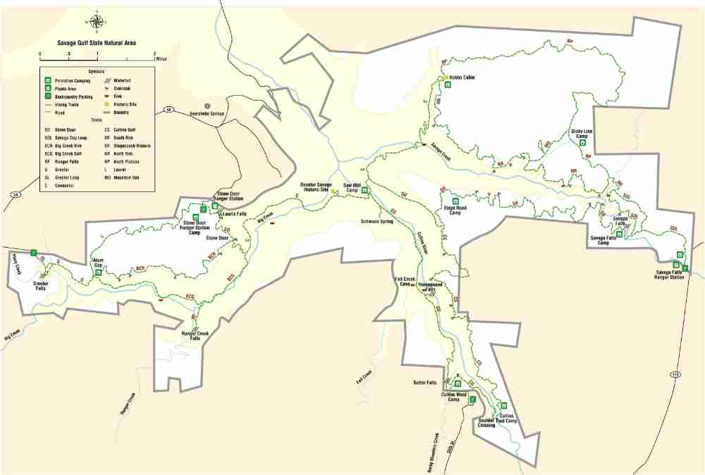
| Directions: | From I-24 take Exit 155. Go north on Hwy 28 12 miles. Go left on Hwy 108 18 miles. Turn right on 55th Ave. Follow signs to Collins Gulf Parking |
| Total Hike Distance: | 17.00 miles |
| Hike Difficulty: | Easy to Moderate |
| Permit Required: | Yes |
| Hike Type: | One-Way, Shuttle Hike |
| Hike Starts: | Collins Gulf Parking Area |
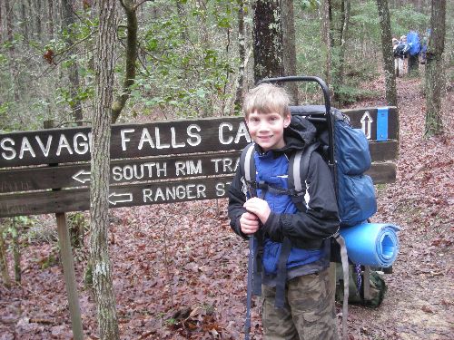
| Hike Ends: | Savage Gulf Ranger Station |
| Trails Used: | Collins Rim - South Rim - Savage Falls Day Loop |
| Backcountry Campsites: | Yes |
| Backcountry Water Sources: | Streams |
| Management: | State Park Service |
| Contact Information: | South Cumberland State Park 11745 US 41 Monteagle , TN 37356 931-924-2980 Stone Door: 931-692-3887 Savage Gulf: 931-779-3532 http://www.state.tn.us/environment/parks/SouthCumberland/ http://www.backpackcamp.com/SavageGulf.html |
| Best Season: | Fall |
| Users: | Hikers |
| Road Conditions: | Secondary Paved Roads |
| Hike Summary: | We took 16 Boy Scouts on this four day trip. It rained for two days and the temp never got above 45 degrees. For several of the boys this was a first outdoor outing. Half of the boys were between 10 1/2 and 12 years old. It was a grand time. The campsites are well maintained by the park service and the trails are good but sometimes rocky climbing in and out of the gulfs. |


 - March 13, 2010 Trip Report")
There are no comments yet.