Cades Cove - Member Hike
| Hike Name: | Cades Cove |
|---|---|
| Country: | United States |
| State: | Tennessee |
| Nearby Town: | Townsend, Gatlinburg, Pigeon Forge |
| Rating: |  |
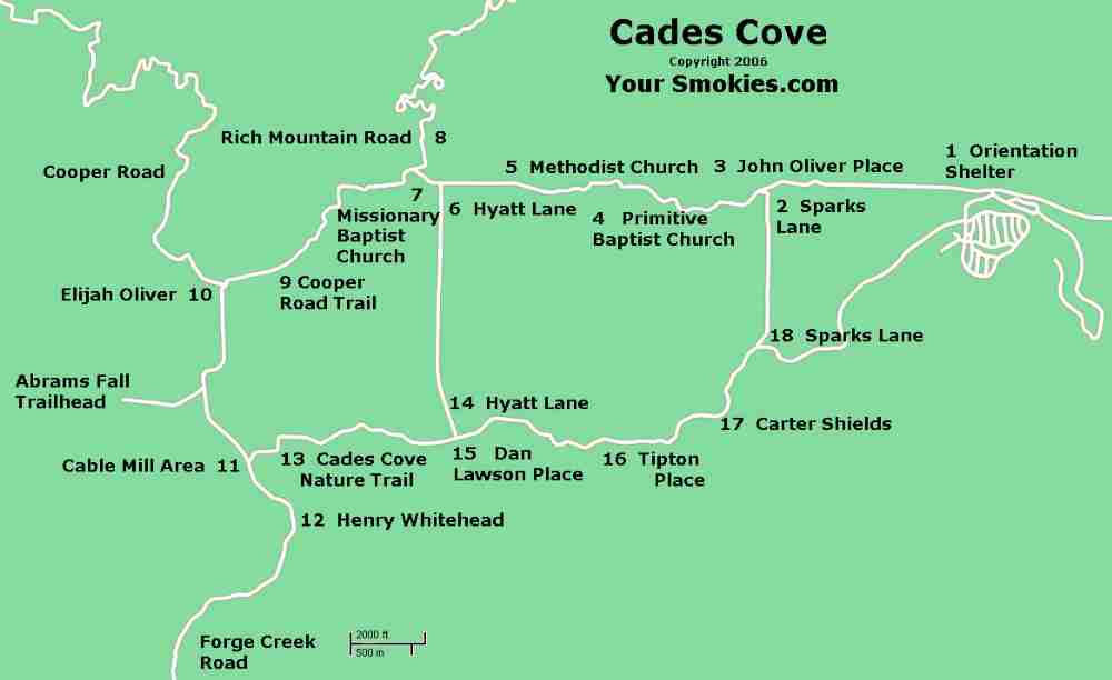
| Directions: | From Townsend, take US 321 to Tn 73. Turn Rt onto Laurel Creek Rd. and go 7 miles to Cades Cove Ranger Station. |
| Total Hike Distance: | 8.70 miles |
| Hike Difficulty: | Moderate |
| Permit Required: | No |
| Hike Type: | Roundtrip, Loop Hike |
| Hike Starts/Ends: | Trailhead at John Oliver Cabin |
| Trails Used: | Rich Mountain Loop, Indian Grave Gap, Scott Mtn Trail, Crooked Arm Ridge Trail |
| Backcountry Campsites: | Yes |
| Backcountry Water Sources: | Streams, Springs |
| Management: | National Park Service |
| Contact Information: | http://www.nps.gov/grsm Write to Great Smoky Mountains National Park 107 Park Headquarters Road Gatlinburg, TN 37738 Phone Visitor Information (865) 436-1200 Fax (865) 436-1220 |
| Best Season: | Winter, Spring, Summer, Fall |
| Users: | Hikers |
| Road Conditions: | Primary Paved Roads, Secondary Paved Roads |
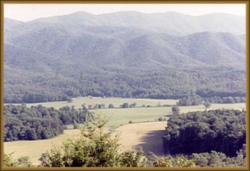
| Hike Summary: | See Cades Cove without sitting in bumber to bumber traffic on the auto/bike/walking loop. Overnight permits are required. Solitary views of the valley with some steep climbs to challenge you. A great wekender for the entire family. If you want to see the sights without the crowd, this is a great hike for you. |


There are no comments yet.