Lewis and Clark Intrepretive Trail - Member Hike
| Hike Name: | Lewis and Clark Intrepretive Trail |
|---|---|
| Country: | United States |
| State: | South Dakota |
| Nearby Town: | Mobridge |
| Rating: |  |
| Directions: | At Mobridge, in north-central South Dakota, on the Missouri River where U.S. Highway 12 passes through. |
| Total Hike Distance: | 2.20 miles |
| Hike Difficulty: | Easy |
| Permit Required: | No |
| Hike Type: | One-Way, Shuttle Hike |
| Hike Starts: | Spring |
| Hike Ends: | Winter |
| Trails Used: | Lewis and Clark |
| Backcountry Campsites: | No |
| Backcountry Water Sources: | Rivers |
| Management: | City Park Service |
| Contact Information: | David Hanson 218 3rd Ave West Mobridge, SD 57601 605-845-3715 www.mobridge.us |
| Best Season: | Spring, Summer |
| Users: | Hikers, Bikers, Dogs |
| Road Conditions: | Primary Paved Roads |
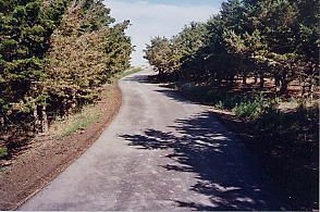
| Hike Summary: | A new interpretive hiking and biking trail, blacktop, running along the Missouri River. It also has a frisbee golf course. Completely free. Plans are to extend it further, to about 5 miles in length. Additional landscaping and other features are being added this year. Great fishing and other outdoor sports. |


There are no comments yet.