Forked Moutain Trail, Chattooga Trail, Foothills Trail - Member Hike
| Hike Name: | Forked Moutain Trail, Chattooga Trail, Foothills Trail |
|---|---|
| Country: | United States |
| State: | South Carolina |
| Nearby Town: | Mountain Rest |
| Rating: |  |
| Directions: | Directions: From Walhalla, take SC 28 north to SC 107. Turn right and follow SC 107 for 16 miles. Sloan Bridge Picnic area will be on the left shortly after Wiggington Road (SR413) turns to the right toward Whitewater Falls. From Cashiers, take NC 107 south for nine miles, cross into SC and look for the parking lot and picnic area on the right. If you reach the lefthand turn for toward Whitewater Falls, you have gone too far. Access the Foothills Trail on the lefthand side of the parking lot. Follow the trail signs toward the Walhalla Fish Hatchery and Oconee State Park. |
| Total Hike Distance: | 30.00 miles |
| Hike Difficulty: | Moderate to Difficult |
| Permit Required: | No |
| Hike Type: | One-Way, Shuttle Hike |
| Hike Starts: | Sloan Bridge Rd access |
| Hike Ends: | Oconee State Park, west end of Foothills Trail |
| Trails Used: | Forked Mountain Trail Chattooga River Trail Foothills Trail |
| Backcountry Campsites: | Yes |
| Backcountry Water Sources: | Streams |
| Management: | State Park Service |
| Contact Information: | Foothills Trail Conference PO Box 3041, Greenville SC 29602 864.467.9537 info@foothillstrail.org http://www.foothillstrail.org |
| Best Season: | Spring, Fall |
| Users: | Hikers, Dogs |
| Road Conditions: | Primary Paved Roads, Maintained Gravel or Dirt Roads |
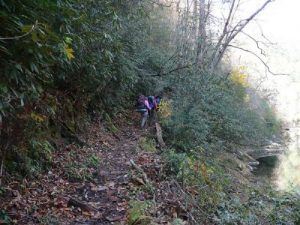
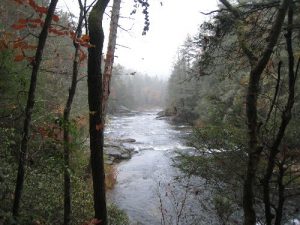
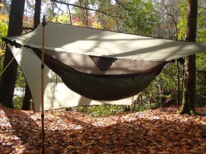
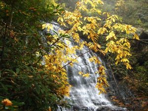
| Hike Summary: | The hike started south from the access point, immediately goes through a number of laurel tunnels and follows a number of small streams. It was found to be a pleasant hike right away and for my first solo hike it became apparent it was to be an enjoyable experience. The Forked Mountain Trail continues on following the profile of the numerous hills zigging and zagging. It eventually runs intop the Chattooga Trail which follows the flow of the Chattooga River, beautiful. The river is clear with falls and rapids. There are a number of camp sites at the edge of the river all of which are very nice. I camped at the intersection of the Bad Creek and the Chattooga. The next day the Chattooga Trail connects back with the Foothills Trail at the Burrell Road access and it continues along the edge of the river. There are no camp sites until you hit the Nicholson Ford Road area. These sites are also along a feeder stream with water falls to camp near. The trail then continues to Oconee State Park. There is plenty of water sources. The trails are sparsely marked, I was able to follow the path even though the trail was covered with leaves. Recommend the trail guide, which I didn't have. |
Recommended
Trip Reports
| Date | Rating | Duration | Hiker | |
|---|---|---|---|---|

|
November 7, 2008 |  |
2 days | hikingdiva |

|
October 28, 2009 |  |
3 days | scrapes |


 Trail Map For This Area
One reply on “Forked Moutain Trail, Chattooga Trail, Foothills Trail - Member Hike”
Love that trail name. Guess you beat yourself up on the trail a time or too. Best wishes.