| Directions: |
From Wahalla, drive northwest on SC 28 for approximately 8 miles and bear right (north) onto SC 107. Drive 10.4 miles and turn left (west) onto Burrells Ford Road (FS 708, which is paved for first 0.3 mile). Drive approximately 2.2 miles to the parking area on the left. From the southern end (nearest the road) of the parking area, take the trail behind the sign and in approx 30 yards you will hit the Chattooga Trail (black blazes) and the Foothills Trail (white blazes), which run concurrently. Turn right, toward the river. (Don't be confused and follow the sign at the end of th parking lot which points to Burrell's Ford Campground.) |
| Hike Summary: |
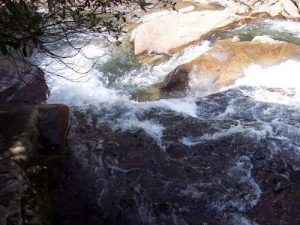
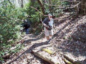
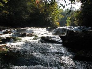
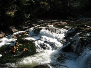
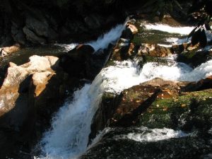
This ranks as one of my favorite hikes. I rate it "difficult" simply because of the distance and in some areas laurel roots make footing challenging. Approx .4 miles after departing the parking lot, the trail crosses King's Creek. Shortly after crossing the creek, a spur trail to the left goes to King's Creek Falls. (It is approx .2 miles to King's Creek Falls and more than worth the extra distance.) The Foothills Trail makes a hard right and gently ascends from King's Creek. Approx .5 miles later the trail returns to river and runs along the river for the remainder of the hike. Approx 2.9 miles into the hike, the trail crosses a creek and intersects with Big Bend Trail. (Big Bend Trail ascends approx 2.7 miles to Cherry Hill Recreation Area.) The Foothills Trail turns right and begins to ascend along the river. As you hike, you will hear the roar of two rapids. Approx .6 miles from Big Bend Trail intersection, as the trail makes a series of switch backs, you can hear the roar of the falls and see a steep and treacherous trail descending to the falls. Be careful, it is a steep and slippery slope to the falls. |






 Trail Map For This Area
There are no comments yet.