Moshannon State Forest - Quehanna - Member Hike
| Hike Name: | Moshannon State Forest - Quehanna |
|---|---|
| Country: | United States |
| State: | Pennsylvania |
| Nearby Town: | State College |
| Rating: |  |
| Directions: | From Youngstown, Ohio, take I-80 east to Dubois, Pennsylvania. Take exit 101 and turn left on Pennsylvania 255. Travel approximately 9.7 miles and turn right on Pennsylvania 153. Go a short 2.5 miles and turn left on Mud Run Road. Travel another 2.3 miles and turn right on Fairview Road. Go to the Parker Dam State Park office to check in. |
| Total Hike Distance: | 18.30 miles |
| Hike Difficulty: | Moderate to Difficult |
| Permit Required: | No |
| Hike Type: | Roundtrip, Loop Hike |
| Hike Starts/Ends: | Parker Dam State Park |
| Trails Used: | Quehanna Trail, Quehanna Trail West Cross Connector |
| Backcountry Campsites: | No |
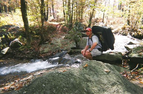
| Backcountry Water Sources: | Streams |
| Management: | State Forest Service |
| Contact Information: | Parker Dam State Park 28 Fairview Road Penfield, Pennsylvania 15849-9799 (814) 765-0630 www.dcnr.state.pa.us/stateparks/parks/parkerdam.aspx |
| Best Season: | Spring, Summer, Fall |
| Users: | Hikers |
| Road Conditions: | Primary Paved Roads, Secondary Paved Roads |
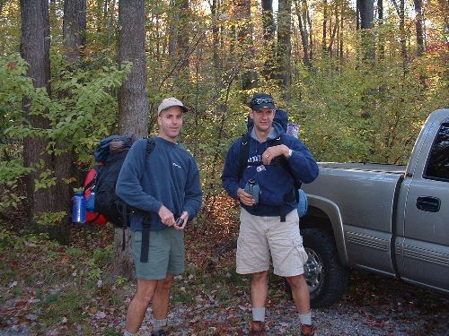
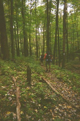
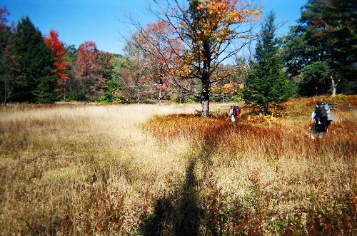
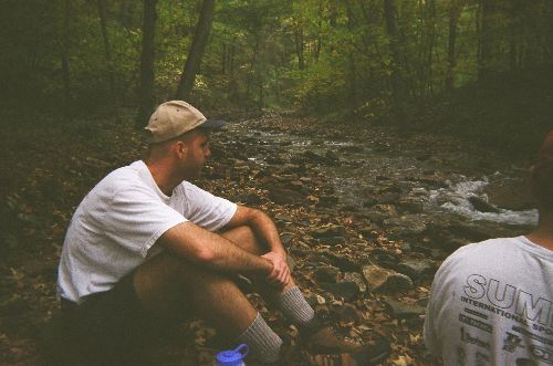
| Hike Summary: | The Moshannon State Forest contains close to 244 miles of trails, of which the Quehanna is the longest. The Quehanna Trail, which is approximately 73 miles in length, actually traverses through both the Moshannon and Elk State Forests. This particular hike begins at the trailhead just east of Parker Dam in the Parker Dam State Park. From there, the trail travels east for approximately 5 miles on the main Quehanna Trail before intersecting with the Quehanna Trail West Cross Connector (QTCC). The QTCC heads north for approximately another 6 miles or so through fairly easy terrain. At the end of this section, there is a vista approximately 800 feet above Medix Run. Although not completely level, this is an ok spot to stop and set up camp for the night, especially in preparation for the next day’s early morning descent down to, and re-ascent up out of, the Little Medix Run stream bed. This portion of the trail includes an extremely steep descent, and re-ascent, and isn’t necessarily for the faint of heart. Once up out of the valley, the trail travels west for approximately 3 miles before dropping down a few hundred feet to Laurel Run and reconnecting with the main Quehanna Trail. From there, the trail traverses south through the valley floor for a couple of miles along both Laurel Run and Saunders Run. After ascending up from Saunders Run, the last three miles are rather uneventful, and the hike ends back at Parker Dam. Although there are a couple of picturesque meadows and streams, and wildlife is abundant, the hike lacks somewhat in scenic overlooks and distinctive features. |


There are no comments yet.