Chestnut Ridge - Member Hike
| Hike Name: | Chestnut Ridge |
|---|---|
| Country: | United States |
| State: | Ohio |
| Nearby Town: | Canal Winchester |
| Rating: |  |
| Directions: | From Canal Winchester, Ohio, take Winchester Road NW southeast out of town for approximately 3 miles. The entrance to the park will be on the right. |
| Total Hike Distance: | 2.00 miles |
| Hike Difficulty: | Easy |
| Permit Required: | No |
| Hike Type: | Roundtrip, Loop Hike |
| Hike Starts/Ends: | Parking Area across from Ranger Station |
| Trails Used: | Ridge and Meadows Trails |
| Backcountry Campsites: | No |
| Backcountry Water Sources: | None |
| Management: | City Park Service |
| Contact Information: | Columbus and Franklin County Metro Parks Headquarters 1069 W. Main Street Westerville, OH 43081 info@metroparks.net 614.891.0700 Chestnut Ridge Metro Park 8445 Winchester Road NW Carroll, OH 614.208.4298 |
| Best Season: | Winter, Spring, Summer, Fall |
| Users: | Hikers, Dogs |
| Road Conditions: | Primary Paved Roads |
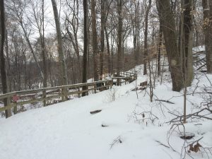
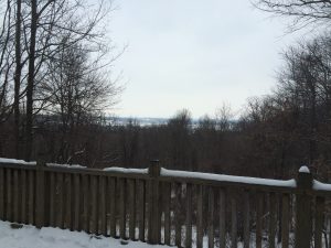
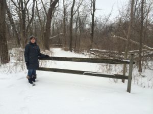
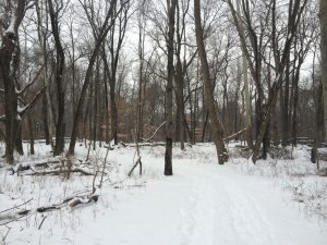
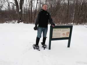
| Hike Summary: | Chestnut Ridge is a 486-acre park, and is the first ridge in the foothills of the Appalachian Mountains. The ridge spans about 4,500 feet and rises to about 1,116 feet. This park contains my go-to mountain bike trail. However, on this snowy winter day, my wife and I decided to give the hiking trails a try. This particular hike starts at the parking area across from the ranger station and travels counterclockwise, first climbing to the ridge, traversing along the ridge, and then along the edge of a meadow before returning to the parking area. The trail along the ridge includes two overlooks with views of the Columbus skyline. |


There are no comments yet.