Mimiwhangata Coastal Park - Peninsula Loop - Member Hike
| Hike Name: | Mimiwhangata Coastal Park - Peninsula Loop |
|---|---|
| Country: | New Zealand |
| Region: | Northland |
| Nearby Town: | Whangarei |
| Rating: |  |
| Directions: | From Whangarei, drive the Whangarei-Russell Coastal Road to Helena Bay. Turn onto Webb Road at Helena Bay following the signs to Teal Bay. The road goes through Teal Bay and a few kilometers later, the pavement ends. From this point on, the road is very narrow, with steep drop-offs. Go past the turn-off (on the left) to Ngahau Bay and watch for the sign to Mimiwhangata Coastal Park, it will be on the left. Turn left and follow the road to the camping area at the park. |
| Total Hike Distance: | 4.50 kilometers |
| Hike Difficulty: | Easy |
| Permit Required: | No |
| Hike Type: | Roundtrip, Loop Hike |
| Hike Starts/Ends: | Okupe Beach Carpark |
| Trails Used: | Peninsula Loop Trail |
| Backcountry Campsites: | No |
| Backcountry Water Sources: | None |
| Management: | Other |
| Contact Information: | New Zealand Dept of Conservation Mimiwhangata Coastal Park RD4 Hikurangi 0181 New Zealand 64-09-433-6554 |
| Best Season: | Summer |
| Users: | Hikers |
| Road Conditions: | Primary Paved Roads, Secondary Paved Roads, Maintained Gravel or Dirt Roads |
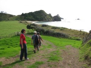
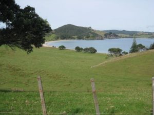
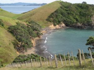
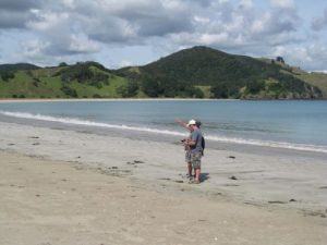
| Hike Summary: | Start at the car park at Okupe Beach. Walk north along the old farm road past the lodge. The road is just onshore of beautiful Okupe Beach until it passes the Lodge, then it climbs the hill from which are excellent views of Poor Knight’s Islands, the several bays in the park, duck ponds. This trail is mostly open grazing land with numerous clusters of pohutukawa trees. Along the cliff edges and shorelines the brush and timber is thicker with beautiful Norfolk Island pines. Dropping down past the duck ponds, the trail skirts the very edge of a steep cliff overlooking the isolated and picturesque Black Sand Beach. Continuing to the west side of the peninsula, the trail descends to the long sweeping arc of Mimiwhangata Beach. Walk to the far end of the beach, and then turn left up a stairway in the hillside. This steep ascent will be rewarded with magnificent views of both Mimiwhangata Bay and the much smaller Waikahoa Bay. Continue uphill and pass over the ridge until the trail joins a narrow dirt road that passes the Ranger’s residence. Follow the road around the Ranger’s residence to the point of beginning. |


There are no comments yet.