Standing Indian Backpacking Trip - Member Hike
| Hike Name: | Standing Indian Backpacking Trip |
|---|---|
| Country: | United States |
| State: | North Carolina |
| Nearby Town: | Franklin, NC |
| Rating: |  |
| Directions: | Directions are too Franklin, NC. From Asheville: Take I-40 West to Exit 27 (23 South/74 West). Stay on 23/74 to Exit 81 (U.S. 441/23 South). Approximately 18 miles to Franklin from this exit. Approximately 65 miles. From Atlanta: Follow I-85 North to I-985. Left on I-985 which becomes 23/365 North. 23/365 becomes 23/441 North. Follow straight into Franklin. Approximately 125 miles. From Greenville, SC: Take I-85 South to Exit 19 (Clemson). Follow 76 West to Clayton, Georgia. Take U.S. 441 North straight to Franklin. Approximately 110 miles. Take US 64 west from Franklin approximately 12 miles passing thru Winding Stair Gap. Near the bottom of the mountain from the gap, you will turn left on West Old Murphy Road (SR 1448). There is a directional sign for the campground there. Go 1.9 miles and turn right on Forest Development Road 67 at the Standing Indian Campgound sign. This is a paved road. Go 1.7 miles and turn right into Standing Indian Campgound. The Information Center is near the campground. |
| Total Hike Distance: | 24.50 miles |
| Hike Difficulty: | Moderate to Difficult |
| Permit Required: | No |
| Hike Type: | Roundtrip, Loop Hike |
| Hike Starts/Ends: | Back Country Info Center west of Franklin NC |
| Trails Used: | Kimsey Creek Trail, AT, Long Branch Trail |
| Backcountry Campsites: | No |
| Backcountry Water Sources: | Streams |
| Management: | None |
| Contact Information: | Unknown |
| Best Season: | |
| Users: | Hikers |
| Road Conditions: | |
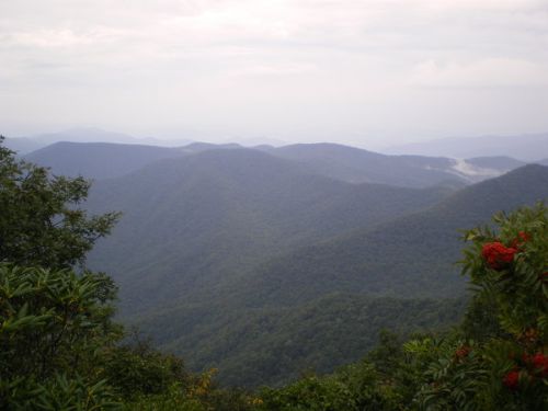
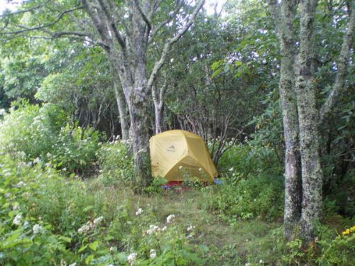
| Hike Summary: | This 24.5 mile loop is arguably one of the best loop hikes in this area and makes for a good 2 night backpacking trip. Begin at the Back Country Info Center, a few miles west of Franklin NC, hike up the Kimsey Creek Trail, connect with the AT at Deep Gap, summit Standing Indian (5498'), continue on the AT to Betty Creek, go over Albert Mountain (fire tower view), and connect with the Long Branch Trail back to our cars. This is an awesome hike that offers a lot of diversity. We will hike by creeks through dense forest, cross over the highest summit on the AT south of the Smokies, and see incredible views at Standing Indian (hopefully a great sunset) as well as Albert Mountain. The hike will be moderate to strenuous with a little rock scrambling up Albert Mountain. Therefore, this is not really a good hike for beginners. You should at least have some experience carrying a pack under these conditions for up to ten miles a day. It will still be hot during the day so plan on carrying extra water. Also, it may get pretty cool at night, especially at 5498', so bring a warmer sleeping bag and clothes. Day one: Hike up the Kimsey Creek Trail to the summit of Standing Indian and camp the first night. Short mileage the first day but banking on an awesome sunset at the top. Distance: 6.5 miles. Day two: Hike the AT to Betty Creek Gap for night two. Distance: 9.8 miles. Day three: Continue on the AT over Albert Mountain and return to the Back Country Info center on the Long Branch Trail. Distance: 8.2 miles. |


Recommended

 Trail Map For This Area
Trip Reports
There are no Trip Reports yet.
There are no comments yet.