South Mountain State Park - Upper Falls Trail Campsites - Member Hike
| Hike Name: | South Mountain State Park - Upper Falls Trail Campsites |
|---|---|
| Country: | United States |
| State: | North Carolina |
| Nearby Town: | Connelly Springs |
| Rating: |  |
| Directions: | South Mountain State Park is located in Burke County, 18 miles south of Morganton. From I-40, turn south on NC 18 and travel nine miles then make a right turn onto SR 1913 (Sugarloaf Road). Take SR 1319 to Old NC 18 and turn left. Travel four miles and make a right turn onto SR 1901 (Ward's Gap Road). The park is off SR 1901 on SR 1904. |
| Total Hike Distance: | 3.00 miles |
| Hike Difficulty: | Moderate |
| Permit Required: | No |
| Hike Type: | Roundtrip, Loop Hike |
| Hike Starts/Ends: | Jacob Fork Parking Area |
| Trails Used: | Hemlock Nature Trail, Upper Falls Trail, High Shoals Falls Loop |
| Backcountry Campsites: | Yes |
| Backcountry Water Sources: | Streams |
| Management: | State Park Service |
| Contact Information: | South Mountain State Park 3001 South Mountain State Park Avenue Connelly Springs, NC 28612 828-433-4772 www.ncparks.net/somo.html |
| Best Season: | Fall |
| Users: | Hikers, Bikers, Dogs, Horses |
| Road Conditions: | Primary Paved Roads, Secondary Paved Roads |
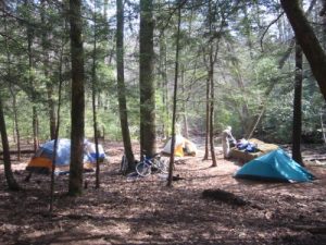
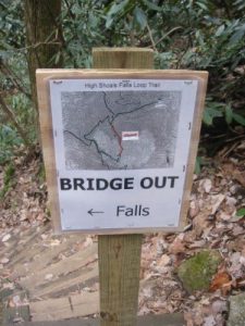
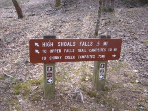
| Hike Summary: | This hike starts at the Jacob Fork Parking Area and follows the Hemlock Nature Trail along the Jacob Fork River to the High Shoals Falls Loop which uses a section of the Upper Falls Trail to access the Upper Falls Trail Campsites, a multi-use area used by hikers, bikers and horse riders. This loop hike has outstanding views of the eighty foot High Shoals Waterfalls from platforms at both the top and bottom of the falls. An elaborate system of steps descends along High Shoals Falls for some scenic views that extend out into the valley below. The route eventually winds back to the Shinny Creek Picnic Area and to the Parking Area at Jacob Fork. It is rated moderate due to some steep climbs from the picnic area. |


 Trail Map For This Area
There are no comments yet.