South Mountain State Park loop hike - Member Hike
| Hike Name: | South Mountain State Park loop hike |
|---|---|
| Country: | United States |
| State: | North Carolina |
| Nearby Town: | Morganton |
| Rating: |  |
| Directions: | From I-40, turn south on NC 18, travel 11.1 miles and make a right turn onto SR 1913 (Sugarloaf Road). Take SR 1913 to Old NC 18 4.3 miles and turn left. Travel 2.7 miles and make a right turn onto SR 1901 (Ward's Gap Road). The park is 1.4 miles off SR 1901 on SR 1904 (South Mountains Park Avenue). |
| Total Hike Distance: | 14.00 miles |
| Hike Difficulty: | Difficult |
| Permit Required: | Yes |
| Hike Type: | Roundtrip, Loop Hike |
| Hike Starts/Ends: | Jacob Fork Parking Area |
| Trails Used: | Chestnut Knob Trail, Sawtooth Trail, Horseridge Trail, Possum Trail, Shinny Trail, Upper Falls Trail, High Falls Loop Trail |
| Backcountry Campsites: | Yes |
| Backcountry Water Sources: | Streams |
| Management: | State Park Service |
| Contact Information: | Address: 3001 South Mountain Park Avenue Connelly Springs, NC 28612 Office Phone: (828) 433-4772 Email: south.mountains@ncdenr.gov |
| Best Season: | Winter, Spring, Fall |
| Users: | Hikers, Bikers, Dogs, Horses |
| Road Conditions: | Primary Paved Roads, Secondary Paved Roads |
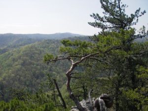
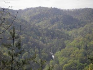
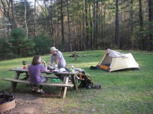
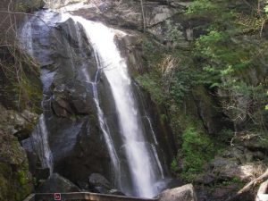
| Hike Summary: | Start in the Jacob Fork Parking Area and pass through the picnic area. Walk on a gravel road a few hundred feet and make a right on the Chestnut Knob trail. This is the last bit of flat land for the next few miles. Follow the trail steeply up the side of the mountain for about 0.5 mile. Take the side trip to see the High Shoals Waterfall across the valley. Backtrack and continue up the mountain with little flat land for the next 1.5 miles. When you reach the end of the trail, take the 0.2 mile trip to the overlook. It is well worth it. Backtrack. Follow the trail a short distance longer and make a left onto the Sawtooth Trail. This trail is wider and is steep in areas, but not as bad as the Chestnut Knob Trail. At the end of the trail (in 2.2 miles), make a left onto the Horseridge Trail. Follow this wide, fairly flat trail for 0.6 mile. Make a left onto the Possum Trail. This trail acsends slightly then descends for the next 1.8 miles down to the first creek passing since leaving the parking lot. Fill up here, because this is the last creek until you get to the campsite. Hope you enjoyed the Possum Trail, you will be steeply ascending for the next 2.6 miles with little reprieve. At the end of this trail, make a right onto the Upper Falls Trail. Follow this trail for 0.2 mile to the Jacob Branch Campsite. Three campsites are placed in a large field with a creek a few hundred feet away. There is also fire pits, picnic tables, and a pit toilet. If you need to tie up horses, there is a structure for that as well. The next day was much easier and enjoyable. Follow the Upper Falls Trail to the main event. This trail is a wide horse trail that ascends and descends slightly for 3 miles. Take the second for the High Falls Loop Trail. Hike a quarter mile to the top of High Shoals Waterfall. Continue down to see the creek drop 60 feet down onto boulders. This area has boulders strewn about in what one sign reads is a natural collection due to rock slides. There are many people in this area, since it is about a mile away from the parking area and clearly the main attraction for the park. Follow the trail back to the parking area to finish your loop. |
Recommended
Trip Reports
There are no Trip Reports yet.


 Trail Map For This Area
There are no comments yet.