North Carolina Member Hikes
Click the column header to sort by Name, Difficulty, Distance, Rating, or Hiker. Default is by date (descending). You can also follow this link to search for a hiking or backpacking trip.
| Name | Difficulty | Distance | Rating | Hiker | |
|---|---|---|---|---|---|

|
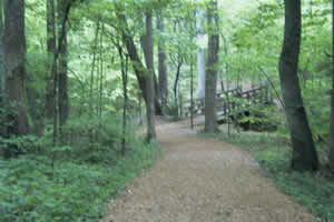
Fires Creek Section / Old Road Gap Trail | Moderate to Difficult | 30.00 miles |  |
Lenny |
|
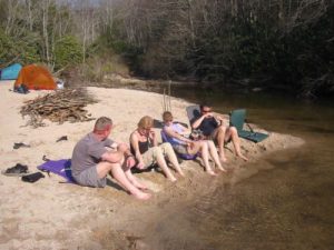
Guilford Courthouse Natl Military Park, Foot Trail Loop | Easy | 2.50 miles |  |
Tree Top Flyer |
|
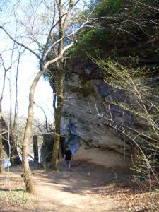
Panthertown Valley - Panthertown Creek (via Cold Mountain Gap) | Easy to Moderate | 2.50 miles |  |
The Camel |
|
Raven Rock State Park | Easy to Moderate | 4.80 miles |  |
aokie79 |

|
Fort Fisher State Recreation Area | Easy | 3.60 miles |  |
aokie79 |

|
Weymouth Woods | Easy | 3.90 miles |  |
aokie79 |

|
Davenport Gap to French Broad River | Moderate | 35.80 miles |  |
Takoda |

|
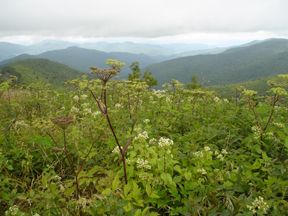
Lovers Leap Loop, North Carolina AT | Moderate | 11.50 miles |  |
Tree Top Flyer |
|
Art Loeb Trail, | Difficult | 30.10 miles |  |
Tree Top Flyer |
|
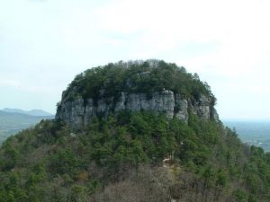
Pilot Mt. State Park | Moderate | 10.00 miles |  |
jayemm |