Nantahala National Forest - Appletree Creek - Member Hike
| Hike Name: | Nantahala National Forest - Appletree Creek |
|---|---|
| Country: | United States |
| State: | North Carolina |
| Nearby Town: | Wesser |
| Rating: |  |
| Directions: | From Franklin, North Carolina, take U. S. Highway 64 west about 3 miles. Turn right at the signs for the LBJ Job Center/Wayah Bald areas, then left onto Wayah Road (State Route 1310). After passing Nantahala Lake, turn left onto Junaluska Road (State Route 1401). Drive 2.5 miles and turn right into the Appletree Group Campground. The trailhead is on the left, nestled against the banks of a small creek. Facilities are not available at the trailhead. |
| Total Hike Distance: | 4.40 miles |
| Hike Difficulty: | Moderate |
| Permit Required: | No |
| Hike Type: | In & Out, Backtrack Hike |
| Hike Starts/Ends: | Appletree Campground |
| Trails Used: | Appletree Creek Trail (19 B) |
| Backcountry Campsites: | No |
| Backcountry Water Sources: | Streams |
| Management: | U.S. Forest Service |
| Contact Information: | Nantahala National Forest Wayah Ranger District Franklin, NC 28734 Telephone: 828-524-6441 |
| Best Season: | Winter, Spring, Fall |
| Users: | Hikers, Dogs |
| Road Conditions: | Primary Paved Roads, Secondary Paved Roads, Maintained Gravel or Dirt Roads |
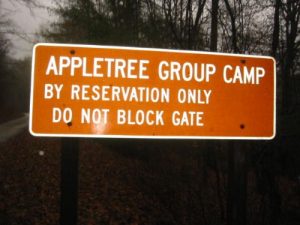
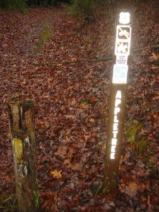
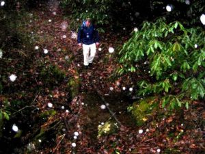
| Hike Summary: | This hike along Appletree Creek (Trail 19B) starts across from a meadow as you enter the Appletree Group Camping area. It follows yellow blazes along a stream and up to a ridge for 2.2 miles to a junction with Laurel Creek (Trail 19F). There are two loops that are possible through the area and both will take at least two hours to complete. We backtracked out due to the weather, but the Appletree Creek drainage only makes a moderate ascent to the ridge and it is heavily lined with rhododendron bushes and lush vegetation. It is definitely a pleasant hike if you are in the area. |
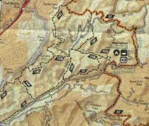


 Trail Map For This Area
There are no comments yet.