Great Smoky Mountain National Park - Mount LeConte - Member Hike
| Hike Name: | Great Smoky Mountain National Park - Mount LeConte |
|---|---|
| Country: | United States |
| State: | North Carolina |
| Nearby Town: | Cherokee |
| Rating: |  |
| Directions: | PARKING: (Great Smoky Mountain National Park) – Several major highways lead to the park. The following routes provide access to the three main entrances. In Tennessee: 1)From I-40 take Exit 407 (Sevierville) to TN Route 66 South, and continue to U.S. 441 South. Follow U.S. 441 to the Park. 2.) From I-40 in Knoxville - Exit 386B U.S. Highway 129 South to Alcoa/Maryville. At Maryville proceed on U.S. 321 North through Townsend. Continue straight on TN Highway 73 into the park. In North Carolina: From I-40, take U.S. Route 19 West through Maggie Valley. Proceed to U.S. 441 North at Cherokee into the park. From Atlanta and points south: follow U.S. 441 and 23 North. U.S. 441 leads to the park. Husky Gap Trailhead is 1.5 miles south of the Sugarland Visitors Center (which is the north entrance to the park on US 441.) Alum Cave Trailhead is 8.6 miles south of the Sugarland Visitors Center on US 441 – also known as Newfound Gap Road. Sugarland Visitors center is a short distance from Gatlinburg, Tennessee. |
| Total Hike Distance: | 28.60 miles |
| Hike Difficulty: | Difficult |
| Permit Required: | Yes |
| Hike Type: | One-Way, Shuttle Hike |
| Hike Starts: | US 441 (at Husky Gap Trailhead) |
| Hike Ends: | US 441 (at Alum Cave Trailhead) |
| Trails Used: | Husky Gap, Sugarland Mountain, Appalachian, Boulevard, Alum Cave Trails |
| Backcountry Campsites: | Yes |
| Backcountry Water Sources: | Springs, Snow |
| Management: | National Park Service |
| Contact Information: | Great Smoky Mountains National Park 107 Park Headquarters Road Gatlinburg, TN 37738, (865) 436-1200 |
| Best Season: | Fall |
| Users: | Hikers, Horses |
| Road Conditions: | Primary Paved Roads |
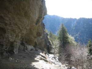
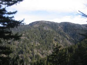
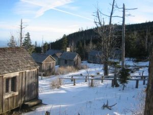
| Hike Summary: | On this hike, we started at US 441 and climbed to the Mount Collins Shelter via the Husky Gap and Sugarland Mountain Trails. Once on the ridge, we followed the Appalachian Trail across Newfound Gap and up to the Boulevard Trail which crosses the summit of Mount LeConte at 6593 feet. There is both a shelter and clustering of commercial buildings available for rent on the mountain, and both Myrtle Point and High Top have spectacular views near the summit. The shortest decent from Mount LeConte is via the Alum Caves Trail, and this hike follows the steep but scenic 4.9 mile trail back to US 441 about twelve miles north of the Sugarlands Visitor Center. |
Recommended
Trip Reports
| Date | Rating | Duration | Hiker | |
|---|---|---|---|---|
|
February 6, 2005 |  |
1 day | BirdShooter |

|
February 5, 2005 |  |
1 day | BirdShooter |
|
February 4, 2005 |  |
2 days | BirdShooter |


 Trail Map For This Area
One reply on “Great Smoky Mountain National Park - Mount LeConte - Member Hike”
The Mount LeConte Lodge is a bit pricey but is a great place. I’m glad to see you have it listed here. I’ve spent three nights at the lodge and the staff and atmosphere is fantastic. It’s worth every penny.