Grandfather Mountain - Member Hike
| Hike Name: | Grandfather Mountain |
|---|---|
| Country: | United States |
| State: | North Carolina |
| Nearby Town: | Linville |
| Rating: |  |
| Directions: | Blue Ridge Parkway, Boone Fork Paking Area. |
| Total Hike Distance: | 6.00 miles |
| Hike Difficulty: | Difficult |
| Permit Required: | Yes |
| Hike Type: | One-Way, Shuttle Hike |
| Hike Starts: | Boone Fork Parking Area |
| Hike Ends: | Mile High Swinging Bridge |
| Trails Used: | Nuwati Trail, Craggy Trail, Daniel Boone Scout Trail |
| Backcountry Campsites: | Yes |
| Backcountry Water Sources: | Streams, Springs |
| Management: | State Park Service |
| Contact Information: | Grandfather Mountain P. O. Box 129 2050 Blowing Rock Highway Linville, NC 28646 828-733-8337 Hiking E-mail: hiking@grandfather.com |
| Best Season: | Spring, Fall |
| Users: | Hikers |
| Road Conditions: | Primary Paved Roads |
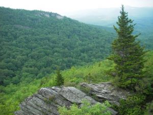
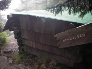
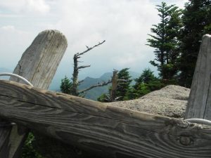
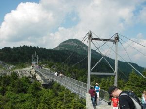
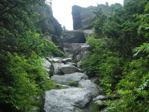
| Hike Summary: | This hike was difficult! You are not allowed to leave your car at the Mile High Swinging Bridge overnight. You either have to hike there and back or plan a shuttle with friends/family. This area of the park closes earlier than the other parts of the park. We learned this the hard way. After leaving the Boone Fork Parking Area, head south (or if you are looking at the parking area from the road, left) on the Tanawha Trail. Follow this for about a quarter of a mile and turn right on the Nuwati Trail. Follw that for about 3/4 mile and make a left onto the Cragway Trail. The park is very well marked and has signs at the intersections with mileage. Climb (steeply at times) the spine of the ridge on the Cragway Trail. There are many beautiful sights as you climb up the ridge. Be sure to stop and notice the beauty of this area, with 43 species of rare or endangered plants and thousands of other species found in North Carolina, there is a lot to find. After climbing for another 3/4 mile, the Cragway Trail meets with the Daniel Boone Scout Trail. Follw this trail and pass a number of campsites along the way. There is only one campsite that has water, so be sure to stop and refill for the night. We stayed at the Hi-Balsam Shelter, complete with mice to give you the AT feel. We had seen some glowing spots on the ground that we found out (later on) may have been firefly larvae or glowing moss slime. As you continue on the Daniel Boone Scout Trail, you will start climbing steeper areas that entail ladders! And there are many ladders! Somewhere in this area there is the remains of a plane wreck from 1978. We passed it, complained that people are horrible for leaving trash in such a beautiful area and moved on. After about 1.5 miles of climbing up and down the spine of the ridge and over craggs, you hit the Grandfather Trail/Profile Trail intersection. Go right, onto the Profile Trail to fill up on water in 3/4 of a mile. BEWARE! It is very steep on the Profile Trail. Straight down to the water source (which is a tube spilling water from under the ground) and straight up to get back! Continue to climb with great views of the Blue Ridge Mountains. Then there is the climb down the crevice of the mountain. This was neat, but be sure to take your time as the rocks are loose and footing can be tricky. Continue to descend. We chose to take the Underwood Trail because there are less ladders to climb, but the views are not as grand. Once you meet back up with the Grandfather Trail, it is just under a mile before coming to the Mile High Swinging Bridge. Be sure to visit this area, since the views are incredible! |
Recommended
Trip Reports
There are no Trip Reports yet.


 Trail Map For This Area
One reply on “Grandfather Mountain - Member Hike”
Cool photo of the swinging bridge. I’ve always wanted to check this place out.